Directly Above Views of Fields with River Erne in Ireland
High Resolution JPEG Picture of Directly above views of fields [1224439660] stock photo
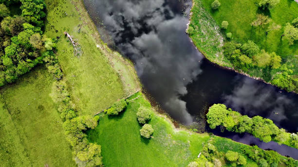
This image captures a unique aerial perspective of the River Erne winding through expansive fields in Ireland. The landscape showcases the vibrant greens of farmland bordered by the meandering river, highlighting the natural beauty of the region. This composition offers a clear view of the topography and land use, making it an excellent resource for discussions on geography, agriculture, and environmental studies.
This aerial view can be effectively utilized in a variety of contexts including travel blogs, educational materials, and environmental reports. Its clarity makes it suitable for use in infographics, website backgrounds, and social media posts. Additionally, it serves well in presentations focusing on agriculture, geography, or tourism in Ireland, as well as in printed materials such as brochures and flyers.