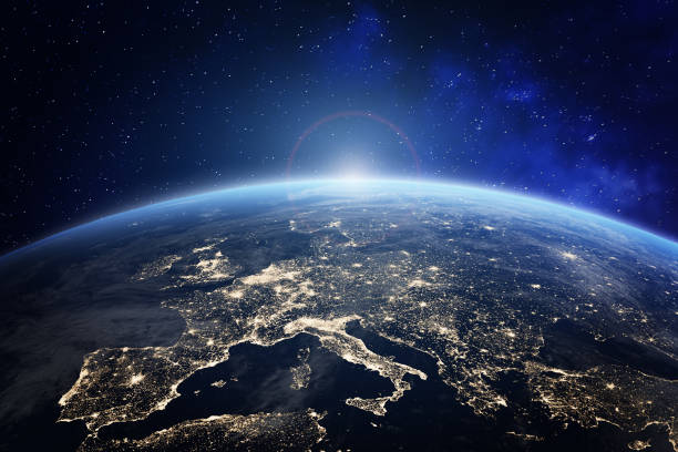
City Lights of Europe at Night from Space
High Resolution JPEG Picture of Europe at night viewed from space with city lights showing human activity in Germany, France, Spain, Italy and other countries, 3d rendering of planet Earth, elements from NASA (https://eoimages.gsfc.nasa.gov/images/imagerecords/55000/55167/earth_lights_lrg.jpg)
This image captures a satellite view of Europe at night, highlighting the vibrant city lights that define urban areas across the continent. The photo is derived from NASA data and provides insight into human activity and population density based on the brightness of city lights. This visual serves as a striking representation of the interconnectedness of European cities and their geographic placement.
This image can effectively be utilized in various contexts such as educational presentations on urban development, infographics analyzing population distribution, and infographic designs highlighting energy consumption. It serves as a fantastic backdrop for websites related to geography, travel, or environmental studies. Additionally, social media campaigns, blog posts about urbanization, and digital learning materials can benefit from its compelling visual narrative.


