
Our Photographer taken this photo with a NIKON D3S camera and
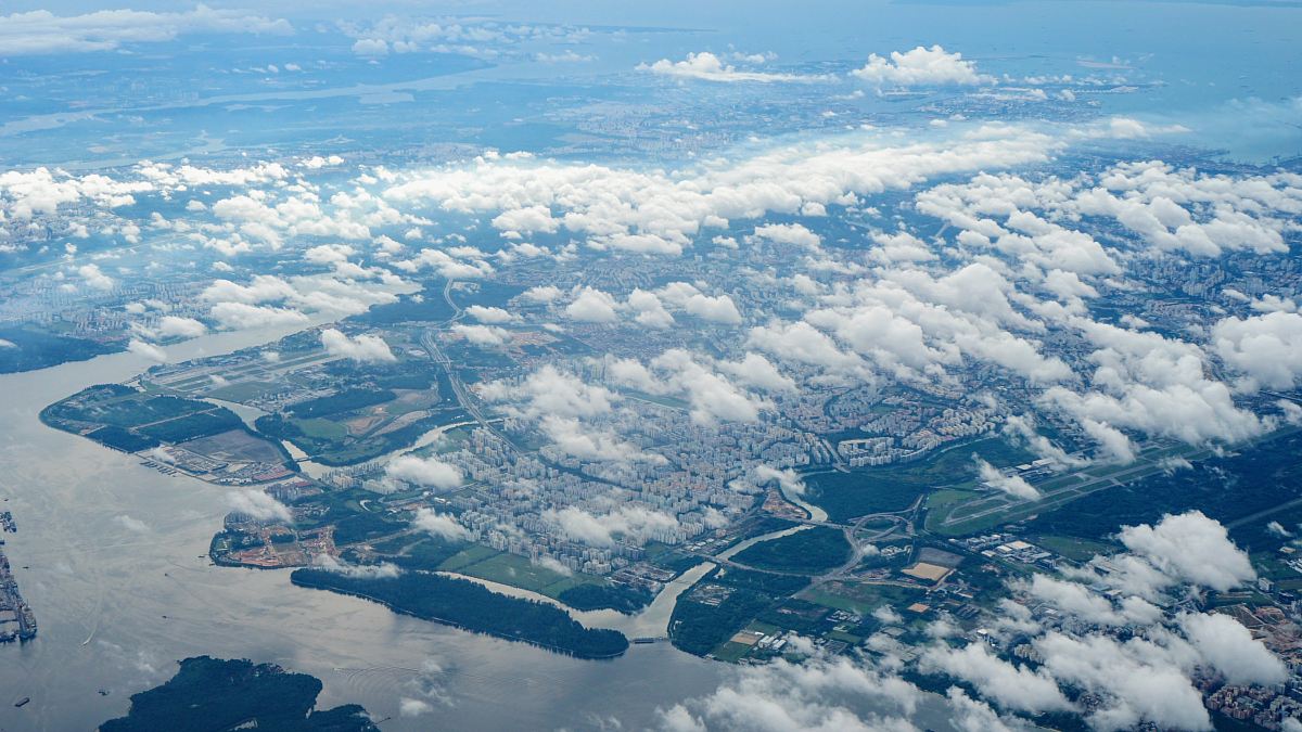
aerial view satellite image Hurricane Irene Florida 2014 clouds climate change natural disaster weather patterns meteorology environment storm trackinga satellite image of hurricane irene
This stunning aerial satellite image captures the dramatic swirling clouds of Hurricane Irene as it approached Florida in 2014. The intricate patterns of the storm showcase the power of nature and can serve as a valuable resource for educational materials, climate research, and environmental awareness campaigns. Perfect for meteorological studies, weather reporting, or any project that aims to illustrate the impact of climate phenomena.


All free photos on this site are public domain and free for commercial use. Please consider giving a credit to https://photostockeditor.com. It is not required but very much appreciated.
 15% OFF Exclusive Promo Code for Photos, Vectors and Video (Code: StockEditor15)