istock 15% OFF Exclusive Promo Code for Photos, Vectors and Video (Code: StockEditor15)
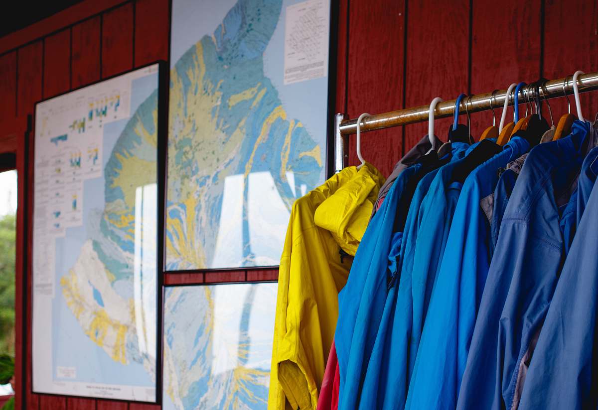
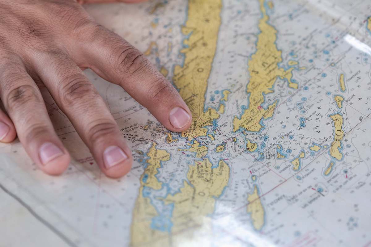
Discover the historical significance of the D-Day planning map displayed at Southwick House, an essential site during World War II. This large wall is adorned with various pieces of art, each illustrating strategic military planning and the collaborative efforts of the Allied forces. Perfect for educational projects, historical documentaries, or anyone interested in the art of wartime strategy.

Our contributor photographer taken this photo with a camera and edit this with Adobe Photoshop CC 2015 (Windows) and picture tagged as D-Day planning map Southwick House World War II history military strategy historical art Allied forces wartime planning educational resources historical sites museum displays art in history

D-Day planning map Southwick House World War II history military strategy historical art Allied forces wartime planning educational resources historical sites museum displays art in history
Public Domain

World War II D-Day Planning Map at Southwick House

a large wall with various pieces of art on it

Discover the historical significance of the D-Day planning map displayed at Southwick House, an essential site during World War II. This large wall is adorned with various pieces of art, each illustrating strategic military planning and the collaborative efforts of the Allied forces. Perfect for educational projects, historical documentaries, or anyone interested in the art of wartime strategy.


Similar Free Stock Images

D-Day planning map, used at Southwick House in World War
World War II D-Day Planning Map at Southwick House
map world map with pins planning
World Map with Colorful Pins for Travel Planning
  travel  market  paper  map  geography  atlas
World Map Travel Atlas - Perfect for Adventure and Exploration
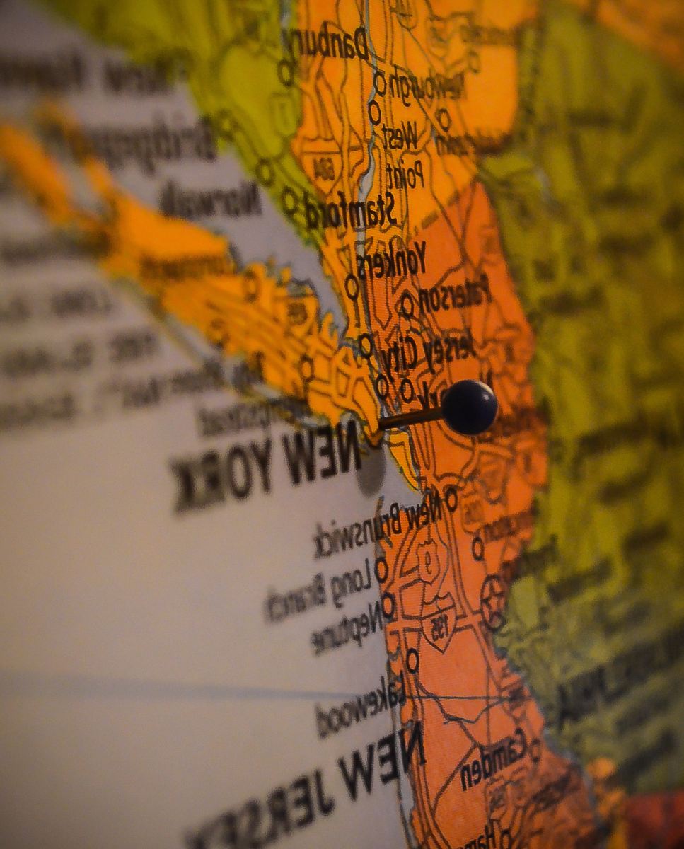
closeup photo of New York map
Detailed Close-Up of a New York City Map with Global Overview
map  pin
Navigating the World: Person Pointing at a Map Pin
person man grabbing another man while looking on world map illustration hand
Strategic Planning: Young Men Collaborating Over World Map
mapa del mundo  mapamundi
World Map with Pins: Explore Global Destinations
france World War 1 building trenches world war 1
Historic Trenches of World War 1 in France
amusement park person holding map day
Exploring the Thrills: Woman Navigating an Amusement Park with a Map
hilo three world map photograph rain
Thread: World Map Photography on a Rainy Day
  writing  number  monument  sight  usa  font
Honoring Heroes: Names of World War Veterans at National War Memorial
diagram person holding world map atlas
Travel Enthusiast with World Map and Passport in Hand
Burning of the State House during Civil War, Columbia
Historic Destruction: The Burning of the State House in Columbia During the Civil War
statele unite ale americii  grey
USA Map with Pin: Perfect for Travel Planning
passport brown framed sunglasses on map world map
Passport and Brown Framed Sunglasses on World Map Table
map selective focus photo of map highway
Selective Focus on Highway Map - Perfect for Travel Planning
American Assault on Utah Beach during D-Day, World War II
American Soldiers Battling Through Mud at Utah Beach - D-Day WWII
wallet on top of map
Stylish Leather Wallet and Journal on World Map
grey maps paper on table travel
Close-Up of Grey Travel Map Paper on Table
journal person touching world map the world
Exploring the Globe: Individual Examining World Map for Travel Plans
world war man in green zip up jacket wearing black helmet american
American Soldier in Green Jacket: A Glimpse from World War History
  world map  travel  couple  traveler
Adventurous Couple Exploring World Map - Travel Enthusiasts
france white blue and green map travelling
France Map in White, Blue, and Green for Travel Enthusiasts
travel black magnifying glass on map suitcase
Adventure Awaits: Travel Map with Black Magnifying Glass and Suitcase
bright world mop shining
Illuminated Mop and World Map on a Table
atlas green and yellow map diagram
Detailed Atlas Map with Green and Yellow Design Featuring Location Pins
travel Australia map filled with pins australia
Exploring Australia: Travel Map with Colorful Pins
hand person in red shirt writing on white paper ring
Exploring New Horizons: Couples Planning Adventure Over Map
military grayscale photography of war cannons world war 1
Historic World War 1 War Cannons in Grayscale
Ruins of Caen, France after World War II image - Free
Haunting Black and White Photo of Caen Ruins Post-World War II
  number  new york  travel  line  color  usa
New York City Travel Map - Discover the USA
world war 1 grayscale photography of soldiers sitting near road and others are standing france
Historical Grayscale Image of World War I Soldiers on the French Road
military grayscale photography of soldier marching on road world war 2
Historic World War II Soldiers Marching in Grayscale
map blue, green, and yellow world map la crosse
Blue, Green, and Yellow World Map for Creative Spaces
diagram map with pins plot
Interactive Map with Location Pins for Travel and Business Planning
Crowds celebrating V-J Day in Times Square, New York, End
V-J Day Celebration in Times Square: A Historic Gathering
  texture  color  material  map  painting
World Map Texture for Creative Projects
france World War 1 wounded soliders war
Dramatic Scene of Wounded Soldiers in WWI Trenches in France
world war 2 text world war ii
Vintage Wall Graffiti: 'Oh' from World War II
world map person holding silver ring on white and blue map pins
Navigating the World: Person Holding Silver Ring on Map with Tablet
kiev geometric map art ukraine
Black and White Kiev Geometric Map Art of Ukraine
travel selective focus photography of pin map pin
Captivating Travel Pin Map with Selective Focus
hand person holding blue and green map point
Navigating Your Journey: Hands Holding a Blue and Green Map Point
clothing gray map apparel
Stylish Gray Map Apparel: Navigate Your Fashion
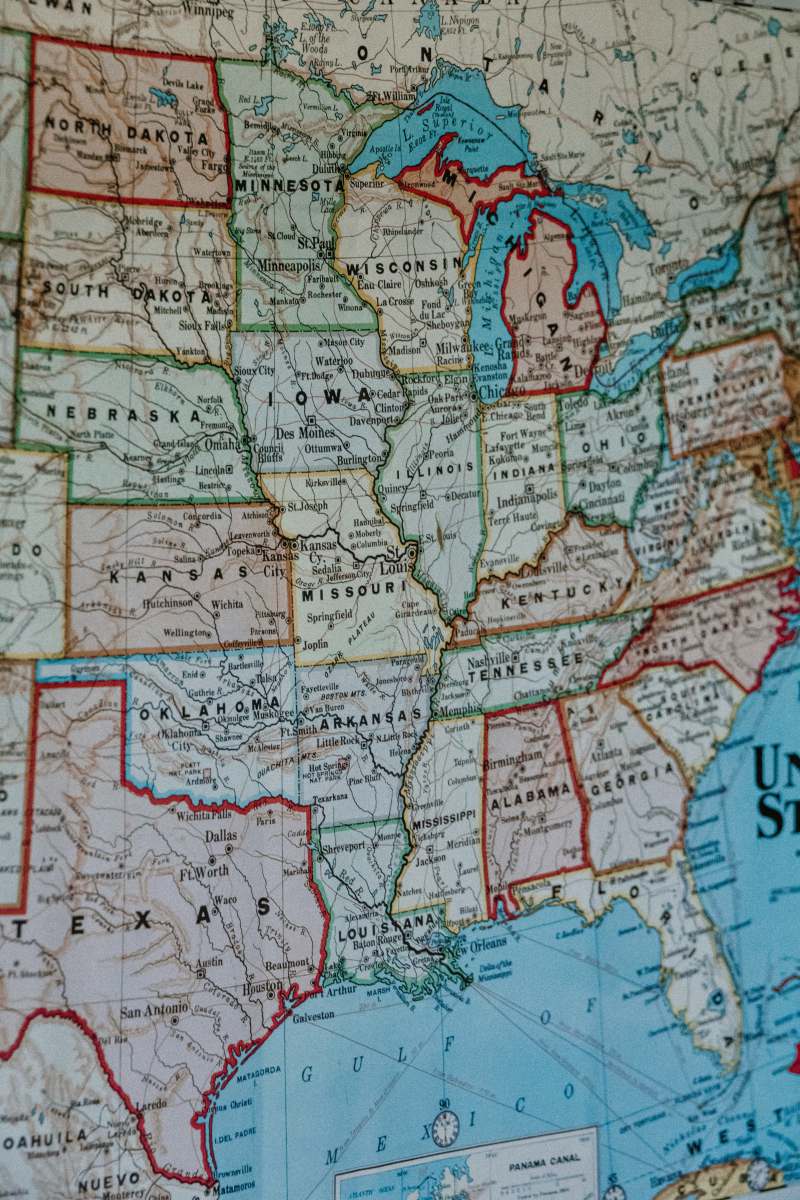
map blue white and brown map united states
Detailed Blue, White, and Brown Map of the United States
dublin 4 flat lay photography of person holding pen in front of world map d04 k0n7
Exploring the World: Flat Lay Photography of a Traveler's Essentials
history grayscale photography of men standing on snow world war 1
Historic Grayscale Photography of World War 1 Soldiers in Snow
grey text travel book
Explore the World: Grey Text Travel Book with Open Map
brown white book on white table travel
Adventurous Travel Book with Map on a White Table
diagram close-up photography of world map map
Detailed Close-Up of World Map with Compass: Navigate Your Journey
history grayscale photography of soldiers first world war
Historic Grayscale Photography of World War I Soldiers in Trenches
globe red green and blue world map world
Colorful Globe Featuring Red, Green, and Blue World Map
brown brown flag parchment
Antique Brown World Map Parchment Flag
grey assorted-colored miniature flag on political map iceland
Colorful Miniature Flags on Iceland Political Map for Travel and Education
pink world map wall decor diagram
Chic Pink World Map Wall Art for Trendy Interiors
  house  wall  cage  interior design  war
War-Torn Interior: A Stylish House Wall with Cage Elements
old house  war
Man Descending Staircase in Abandoned House of War-Torn Town
country red and black heart illustration countries
Red and Black Heart Map Illustration of Countries
buenos aires blue green and yellow map argentina
Map of Buenos Aires with Colorful Highlights and Red Pin
arms grayscale photo of 4 men standing beside piano world war 1
Grayscale Photo of Four Men Gathered Around a Piano from World War I

Related iStock Premium Stock Images