
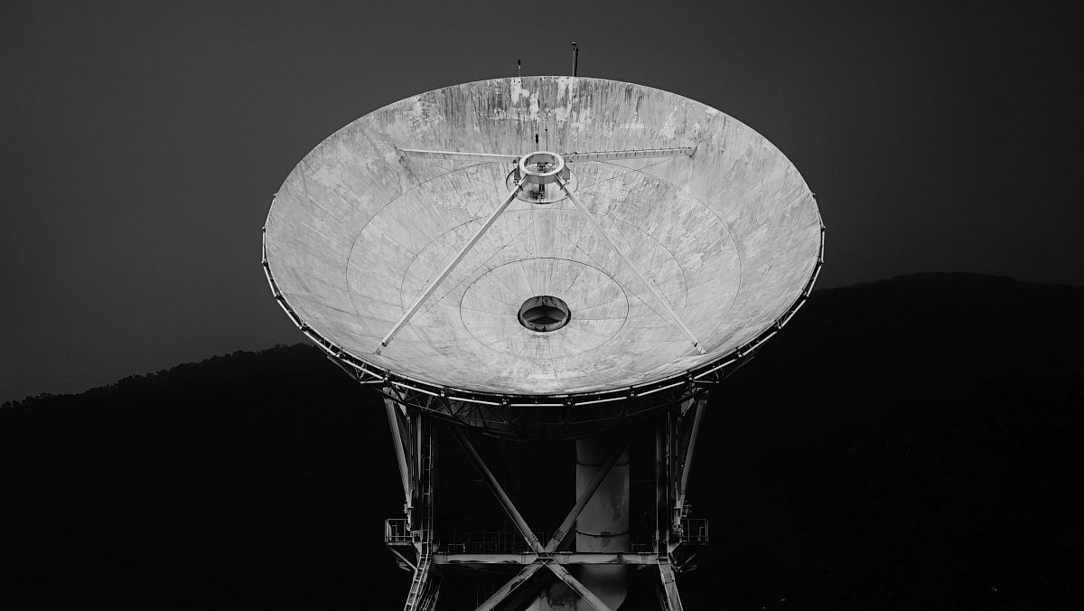
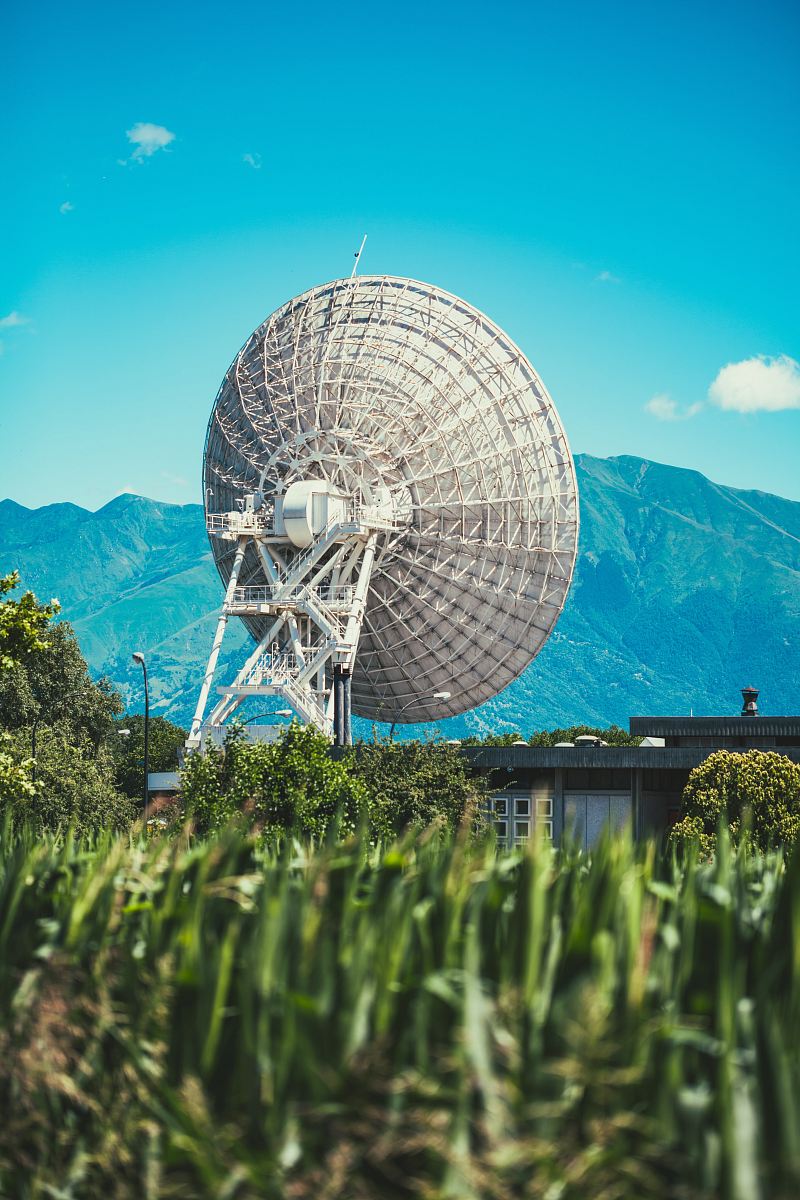
Our Photographer taken this photo with a camera and edit this with Adobe Photoshop CC 2015 (Windows) and
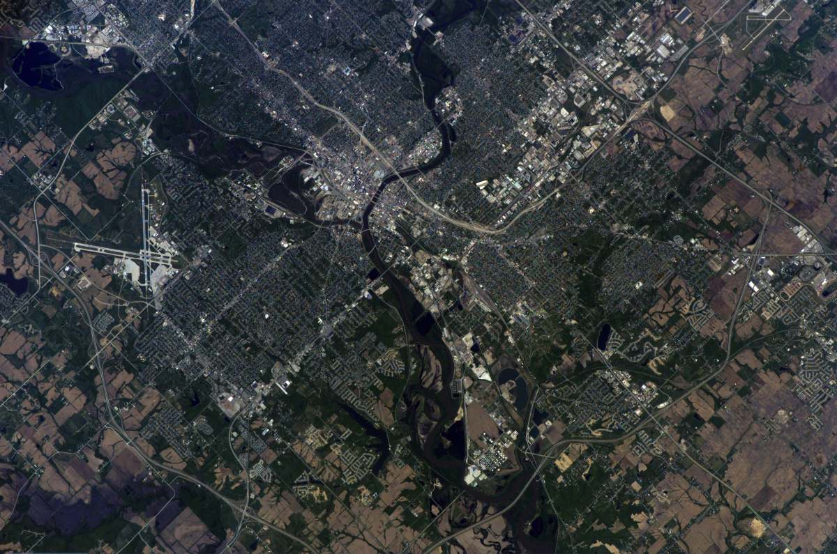
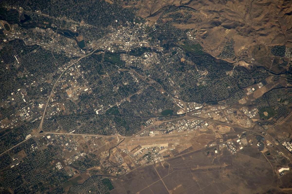
El Paso Texas satellite image false-color urban landscape geographical studies cityscape high-resolution aerial view cartography urban planning free imagea satellite image of the city of cairo, egypt
Explore this captivating false-color satellite image showcasing the vibrant city of El Paso, Texas. Ideal for educational projects, urban planning presentations, or geographical studies, this high-resolution image highlights the city's dynamic landscape and intricate patterns. Perfect for both professional and personal use, this image provides a unique perspective of El Paso, inviting viewers to appreciate the beauty of urban environments from above.


All free photos on this site are public domain and free for commercial use. Please consider giving a credit to https://photostockeditor.com. It is not required but very much appreciated.
 15% OFF Exclusive Promo Code for Photos, Vectors and Video (Code: StockEditor15)