
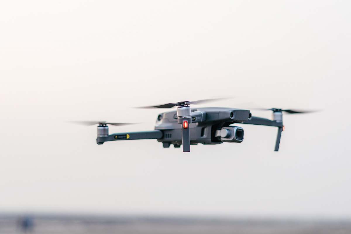
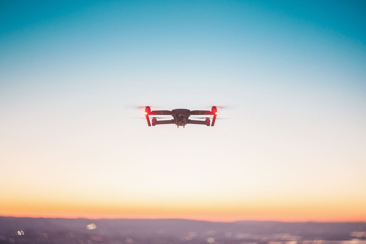
Our Photographer taken this photo with a FC330 camera and edit this with Adobe Photoshop Lightroom 6.8 (Macintosh) and
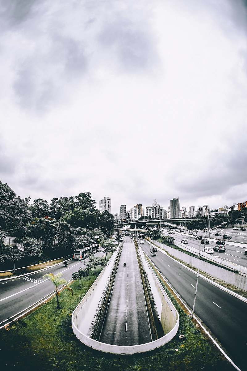
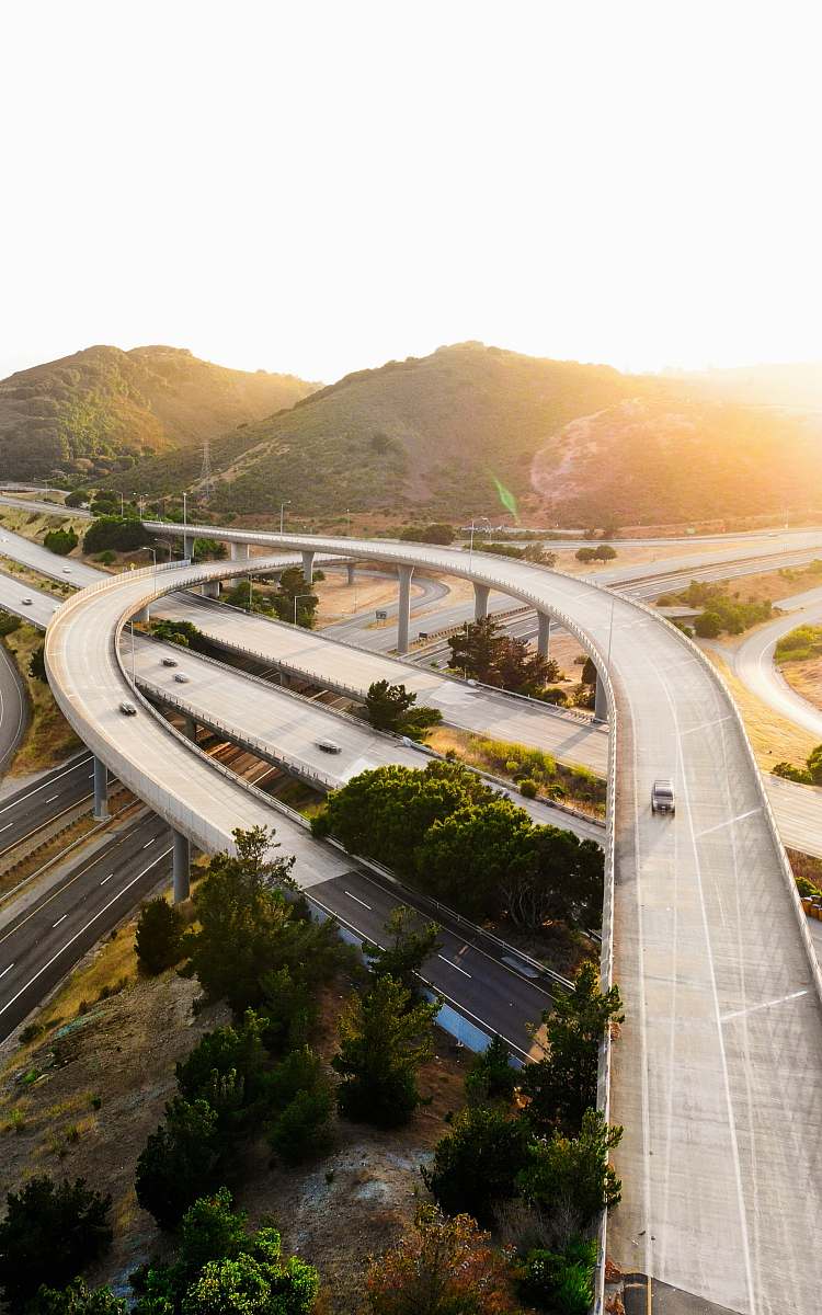
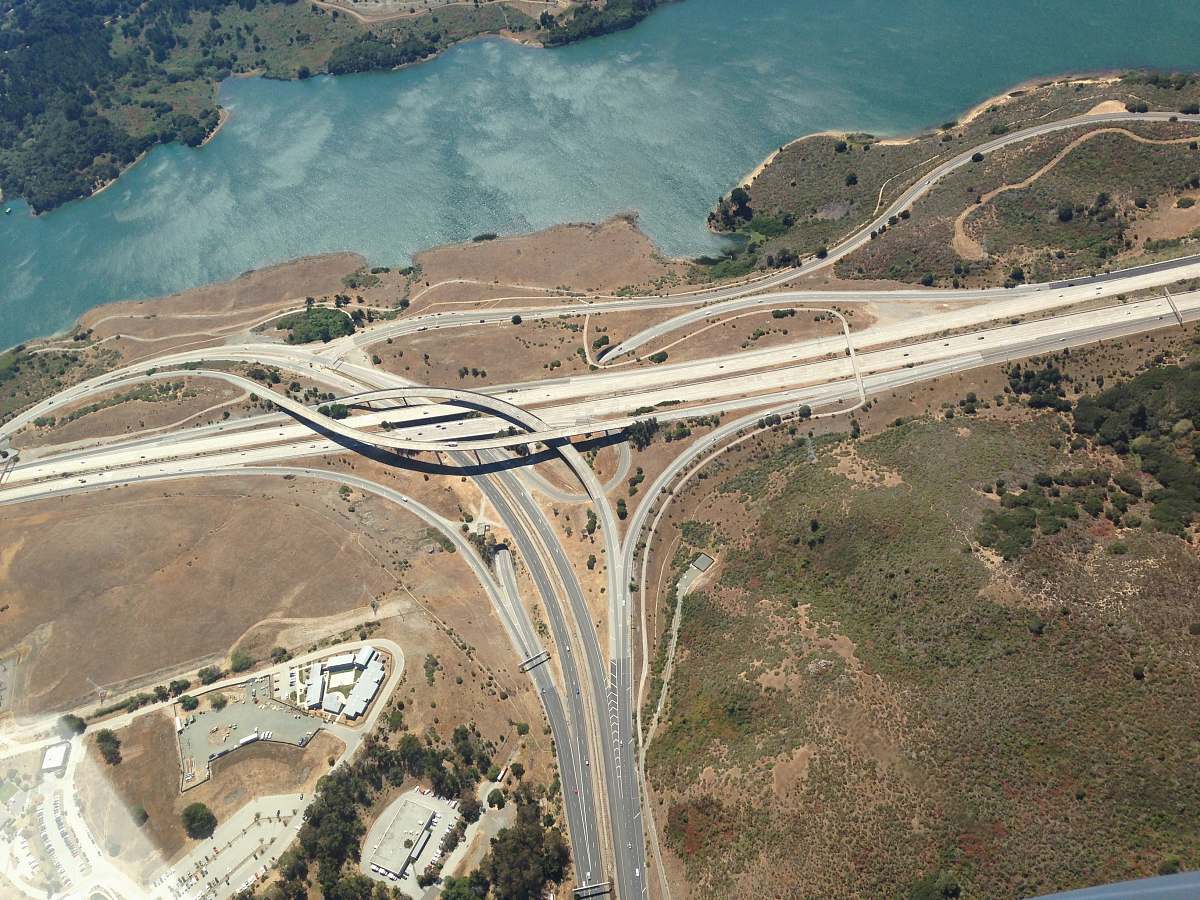
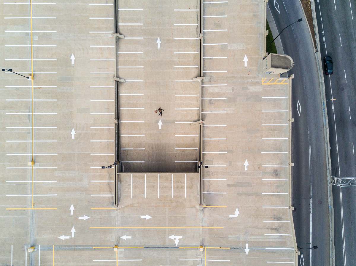
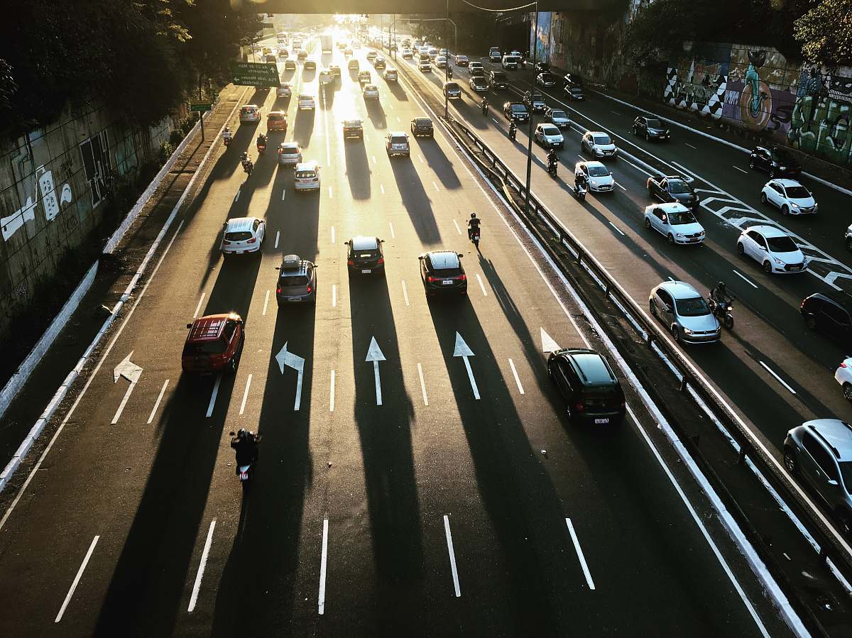
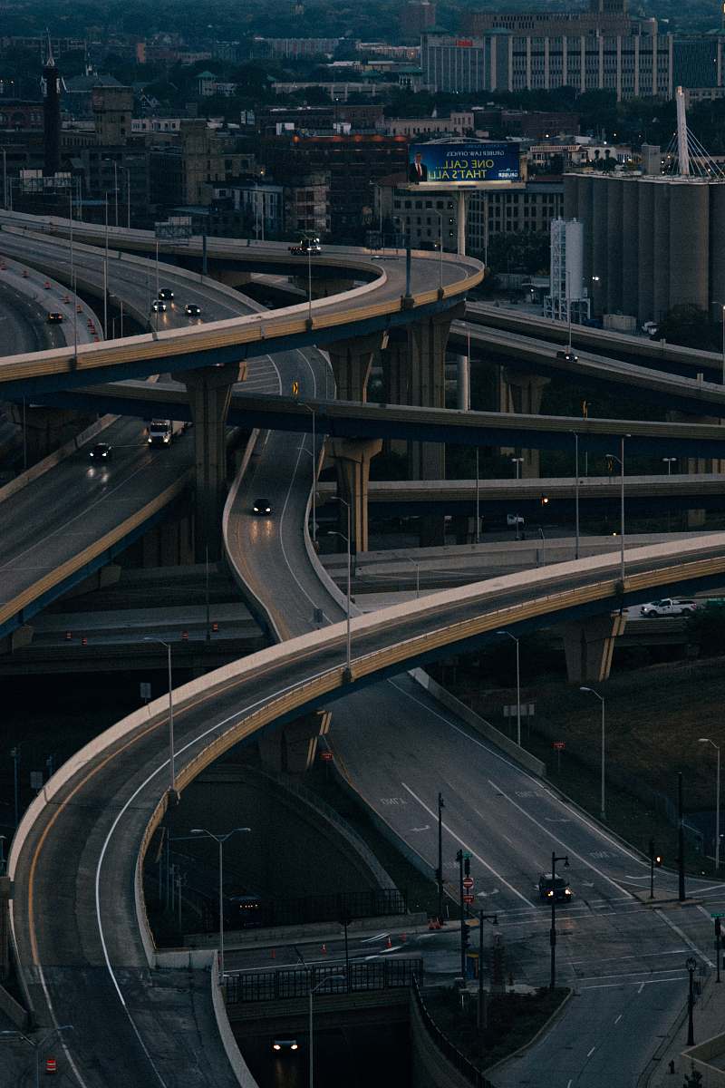
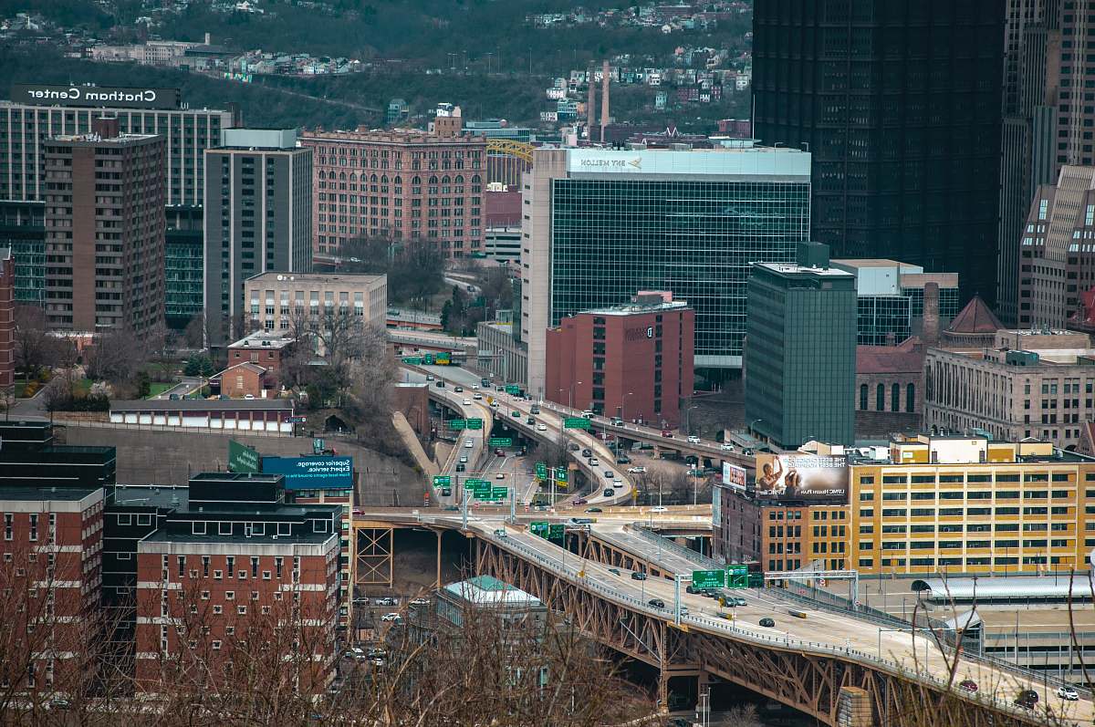
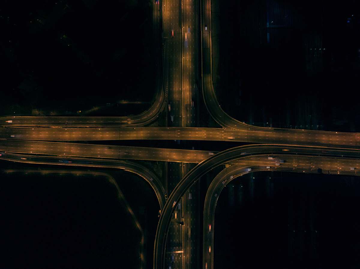
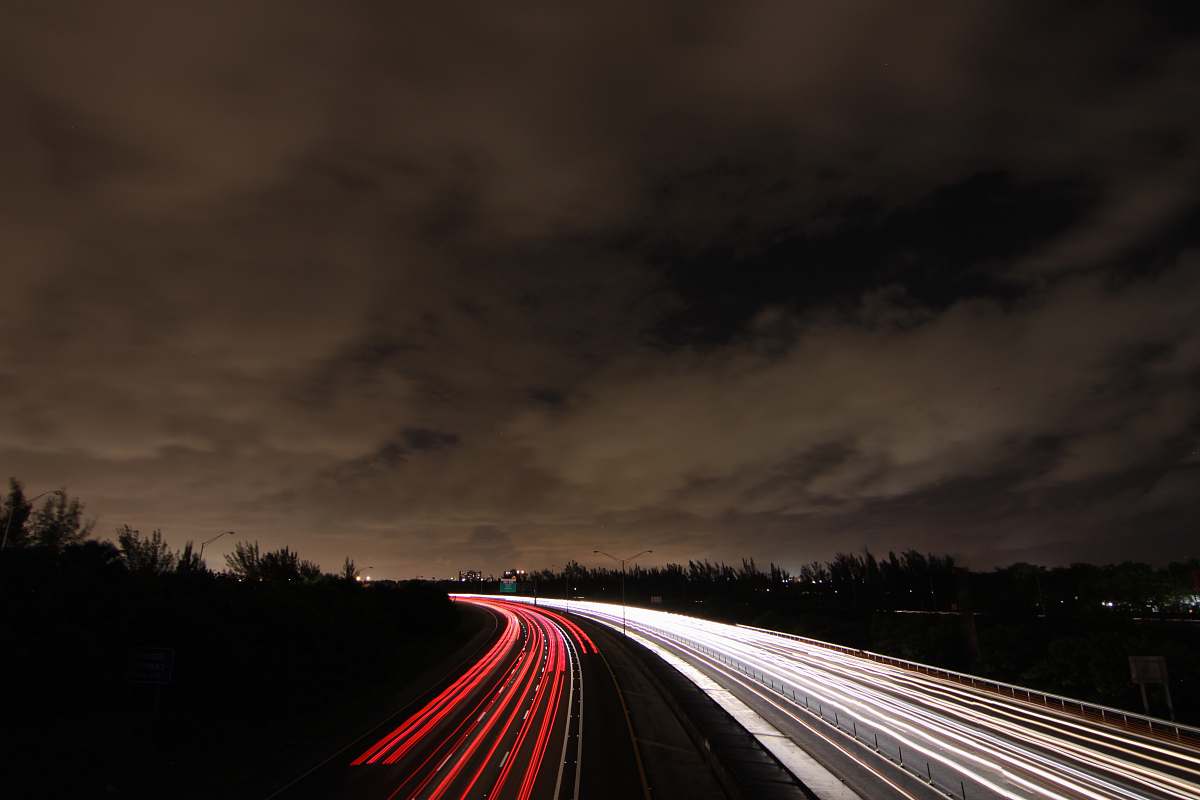
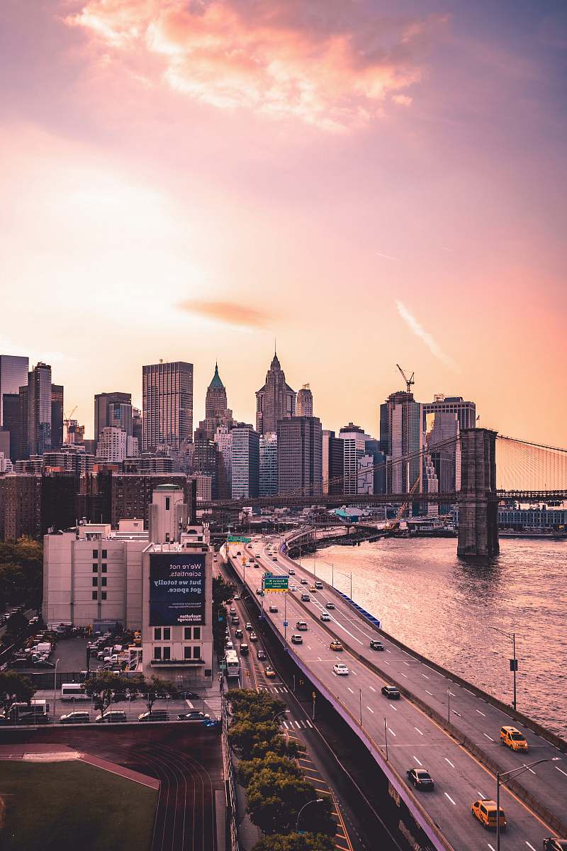
aerial photography interlocking freeways drone view road junction urban transportation freeway network traffic patterns city infrastructure traveling cars highway system photography for planningaerial view of a road junction
Explore a breathtaking aerial photograph capturing the dynamic network of interlocking freeways. This drone view showcases a busy road junction filled with traveling cars, highlighting the intricate patterns of urban transportation. Perfect for use in urban planning, transportation studies, or as a striking visual for marketing materials focusing on infrastructure.


All free photos on this site are public domain and free for commercial use. Please consider giving a credit to https://photostockeditor.com. It is not required but very much appreciated.
 15% OFF Exclusive Promo Code for Photos, Vectors and Video (Code: StockEditor15)