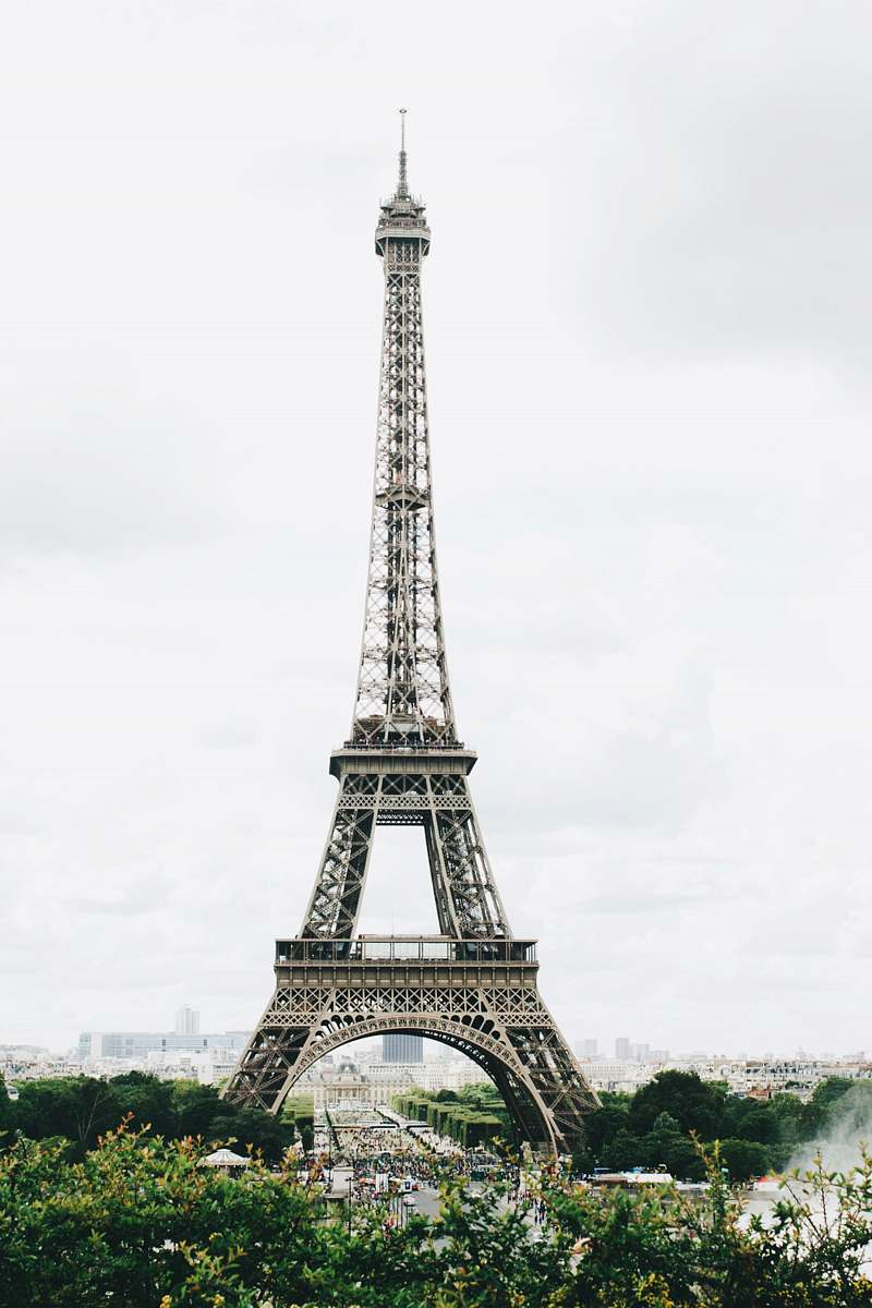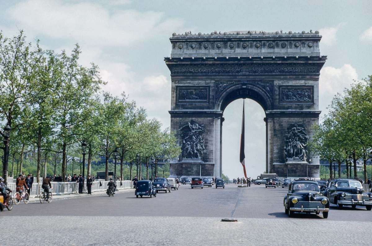
Our Photographer taken this photo with a camera and edit this with Adobe Photoshop CC 2015 (Windows) and
Poitiers 16th century historical map France vintage drawing Renaissance architecture urban layout historical illustration educational resource collectible art city map antique cartographyan old map of the city of london
Explore a meticulously crafted drawing of Poitiers from the 16th century, showcasing the historical architecture and urban layout of one of France's most intriguing cities. This vintage map captures the essence of Poitiers during the Renaissance, making it an ideal resource for historians, educators, and collectors. The intricate details offer a glimpse into the past, perfect for enhancing history-related projects, decor, or educational materials.


