
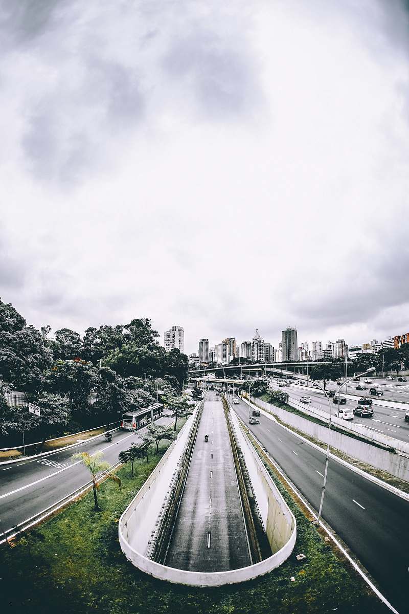
This pictura was taken on Les Vans, France
Our Photographer
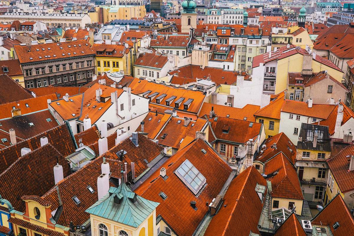
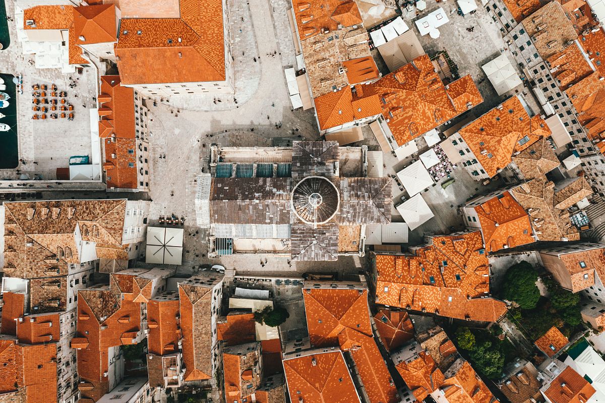
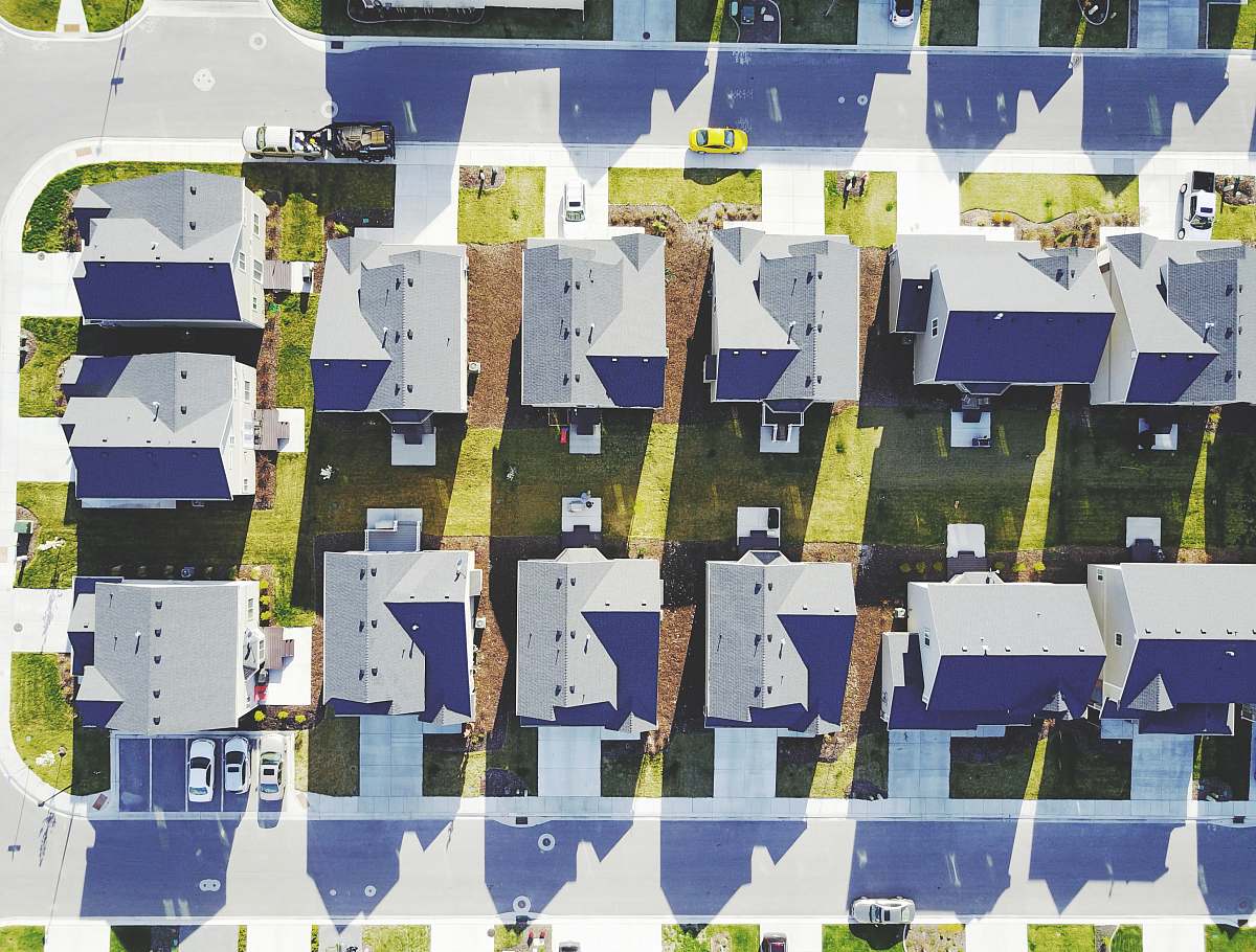
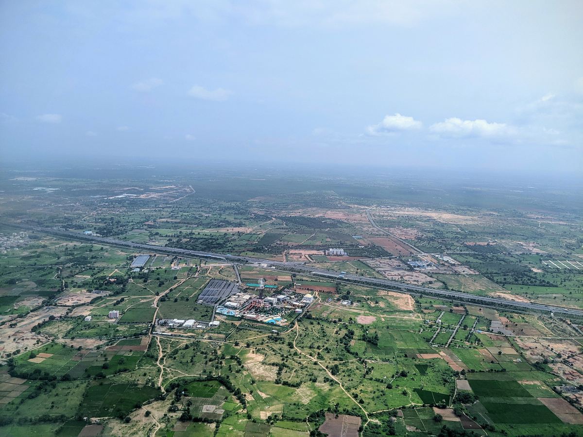
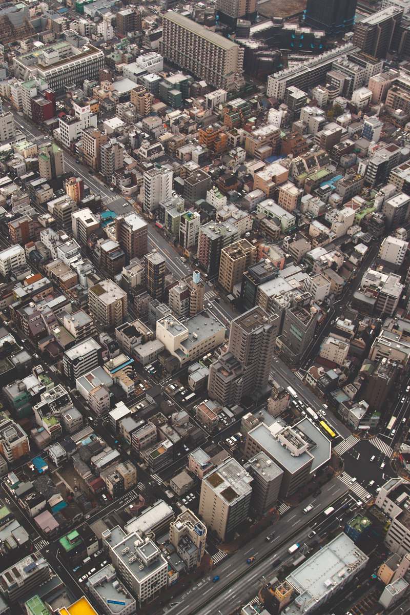
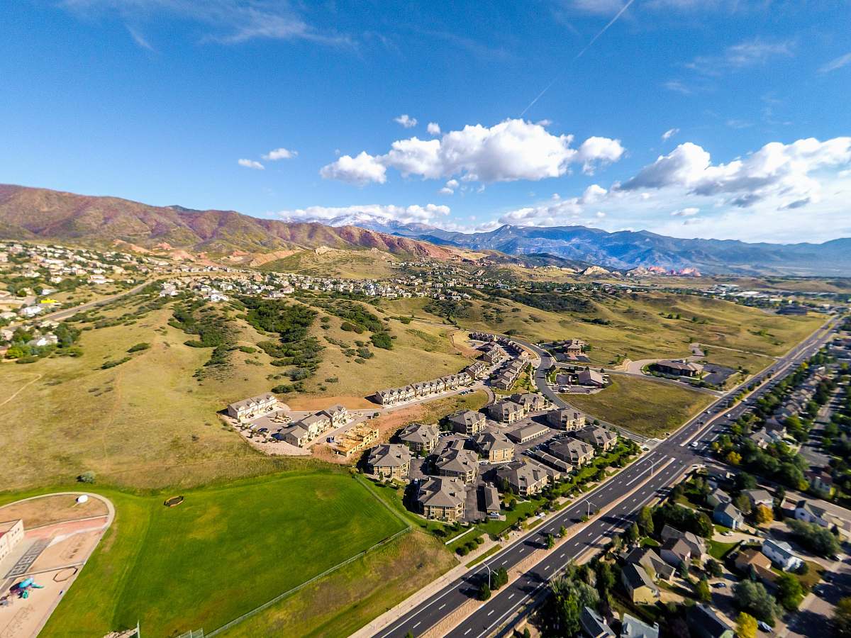
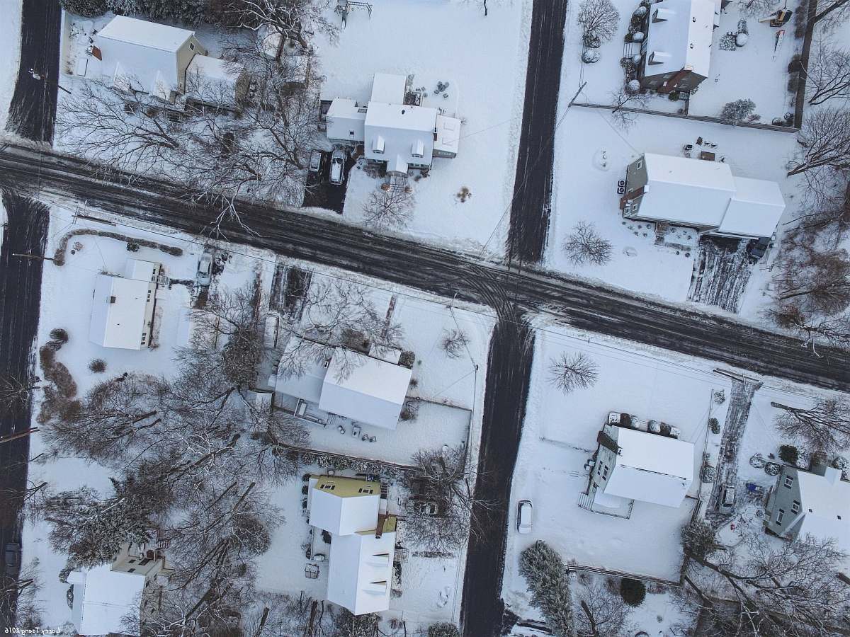
aerial photography cityscape Gonda urban landscape satellite image homes roadways city life bird's eye view urban planning architecture high-quality visualsa satellite image of the city of gonda
Explore a captivating aerial photograph capturing the intricate layout of the city of Gonda. This satellite image showcases a vibrant urban landscape, featuring a diverse array of houses and well-defined roadways. Perfect for urban planners, architects, or anyone needing high-quality visuals of city life, this image embodies the essence of a bustling community from above.


-ro-gamnae 1(il)-ro-image.jpg)


All free photos on this site are public domain and free for commercial use. Please consider giving a credit to https://photostockeditor.com. It is not required but very much appreciated.
 15% OFF Exclusive Promo Code for Photos, Vectors and Video (Code: StockEditor15)