
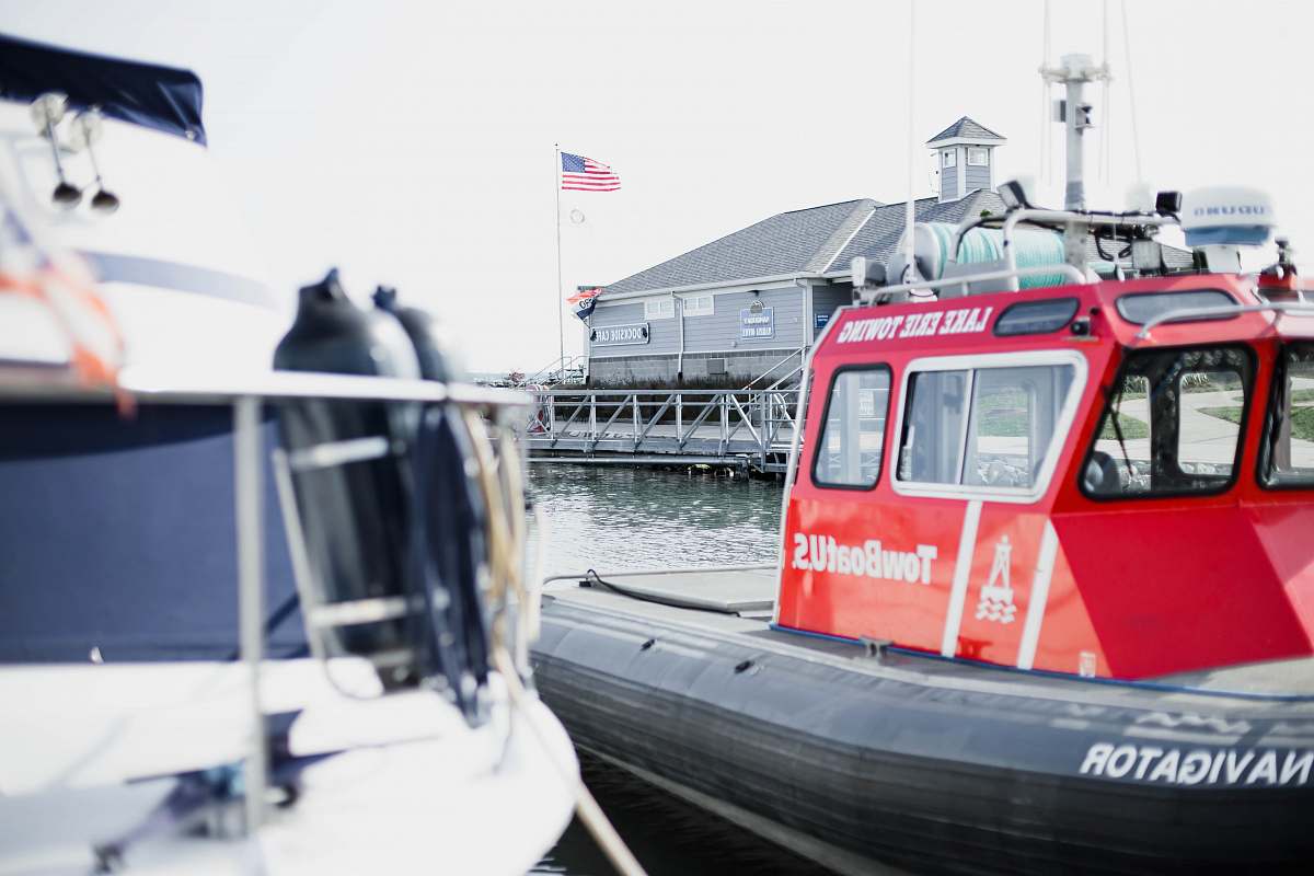
This pictura was taken on Antwerp International Airport, Antwerpen, Belgium
Our Photographer taken this photo with a NIKON D3300 camera and edit this with Adobe Photoshop CC 2015.5 (Macintosh) and
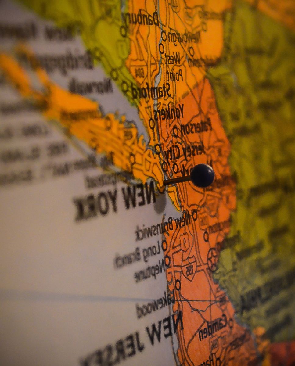
GPS navigator cockpit view aircraft navigation aviation technology map display travel planning black GPS device flight cockpit airplane navigation aviation professionals technology enthusiasts aerial explorationa view from the cockpit of a plane
Experience the precision of modern navigation with this striking image of a black GPS navigator prominently displaying a detailed map, captured from the cockpit of an aircraft. Ideal for aviation professionals, travel agencies, and technology enthusiasts, this image embodies the synergy of advanced technology and aerial exploration. Perfect for enhancing articles, presentations, or promotional materials related to aviation, GPS technology, or travel planning.


All free photos on this site are public domain and free for commercial use. Please consider giving a credit to https://photostockeditor.com. It is not required but very much appreciated.
 15% OFF Exclusive Promo Code for Photos, Vectors and Video (Code: StockEditor15)