
Our Photographer taken this photo with a camera and edit this with Adobe Lightroom 3.2 (Macintosh) and
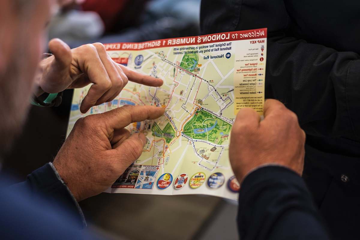
London map vintage illustration historical map brown and white city map London landmarks artistic map retro design educational resources heritage art classic decora map of the city of london
Explore the charming intricacies of this vintage brown and white illustration depicting a historical map of London. Perfect for art enthusiasts, educators, or anyone looking to add a touch of classic elegance to their projects. This detailed map showcases iconic landmarks and streets, making it an ideal backdrop for presentations, decor, or educational materials on London´┐Żs rich history.


All free photos on this site are public domain and free for commercial use. Please consider giving a credit to https://photostockeditor.com. It is not required but very much appreciated.
 15% OFF Exclusive Promo Code for Photos, Vectors and Video (Code: StockEditor15)