Our Photographer taken this photo with a camera and edit this with Adobe Lightroom 3.2 (Macintosh) and
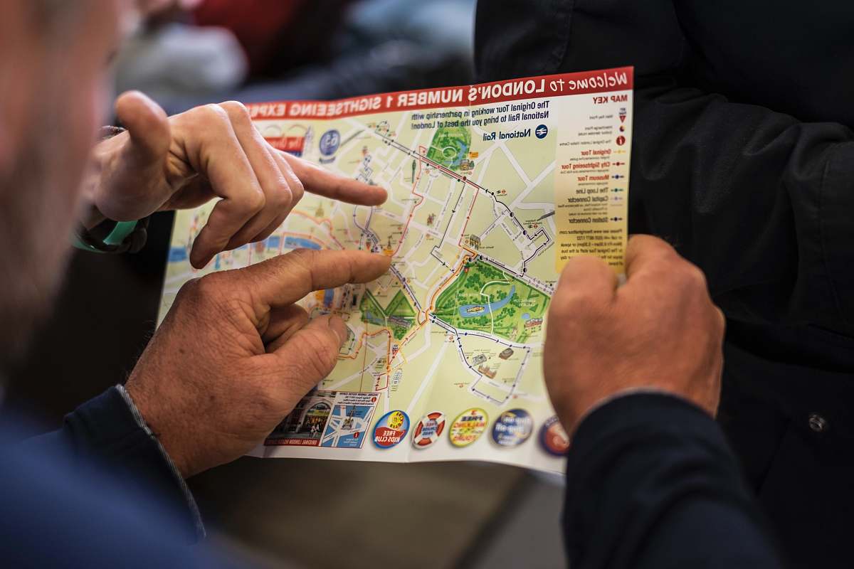
London poverty map historical map vintage illustration socio-economic map Victorian London brown and white map educational resources artistic decor city map historical illustration urban studies cultural historya map of the city of london
Explore this unique historical illustration of the London Poverty Map, featuring intricate brown and white details that highlight the socio-economic landscape of the city. This captivating map serves as a valuable resource for historians, educators, and artists alike, showcasing the stark contrasts of wealth and poverty in Victorian London. Perfect for educational projects, presentations, or as a stunning decorative piece, this vintage map captures the essence of an important era in London's history.


