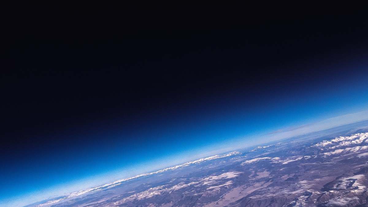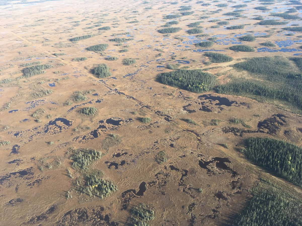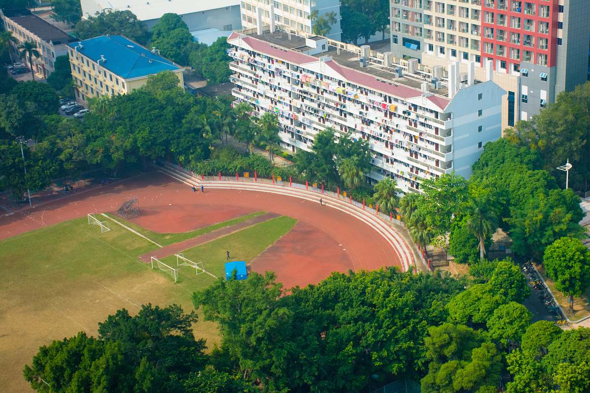
This pictura was taken on Mississippi, USA
Our Photographer taken this photo with a camera and edit this with Adobe Lightroom 3.1 (Macintosh) and
London satellite image River Thames aerial view earth illustration urban landscape green and brown cityscape environmental design geography travel photography nature and citya satellite image of the city of london, showing the river thames and the river thames
Explore this captivating satellite illustration of London, where vibrant green and earthy brown tones beautifully depict the city's landscape from above. The iconic River Thames meanders through the urban terrain, offering a unique perspective that captures both nature and architecture. This image is perfect for use in environmental campaigns, travel blogs, educational materials, and graphic design projects focused on urban geography or sustainability.


