
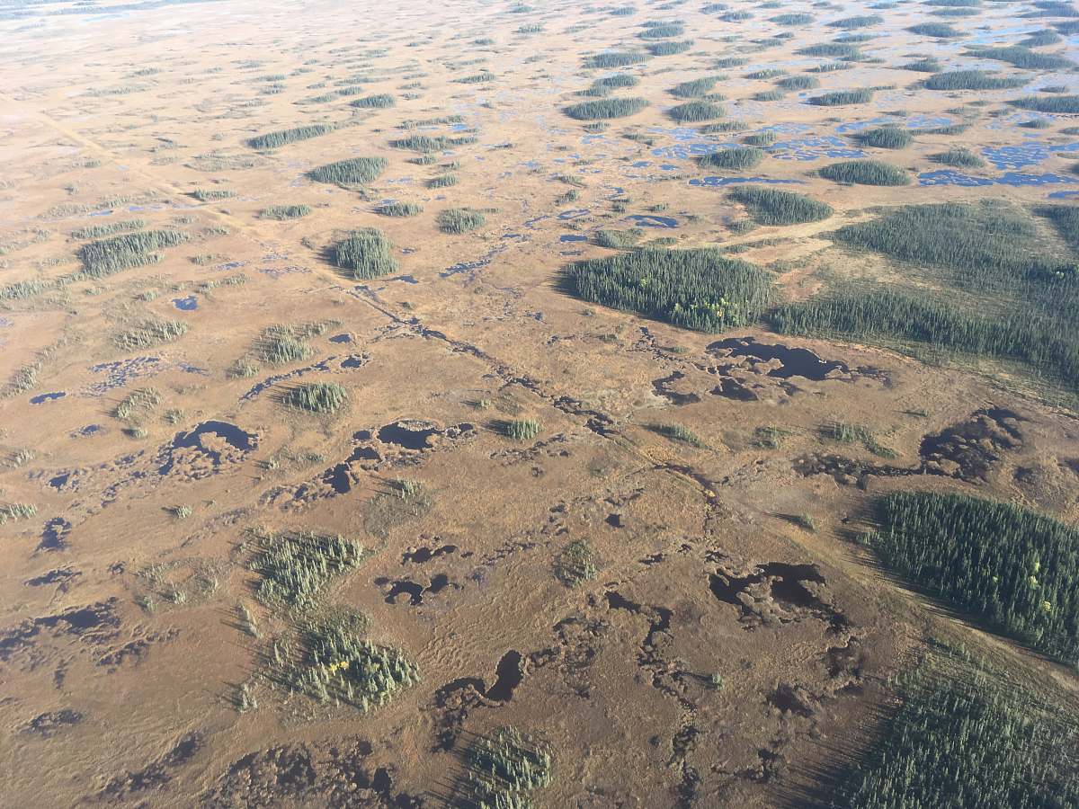
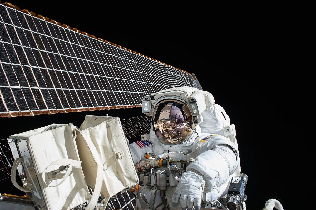
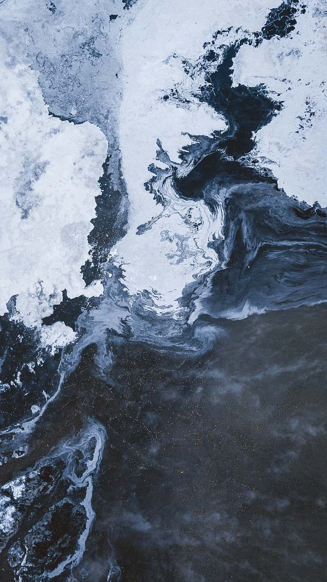
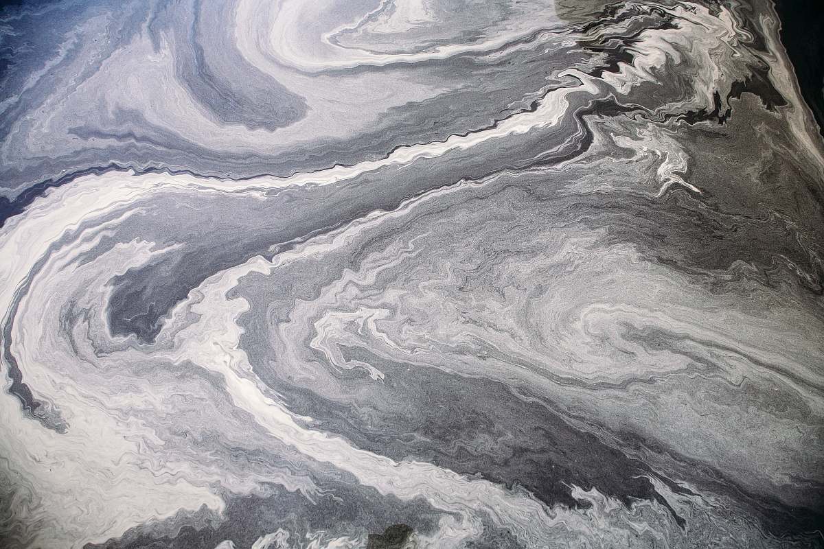
This pictura was taken on Asia
Our Photographer taken this photo with a camera and edit this with Adobe Lightroom 3.1 (Macintosh) and
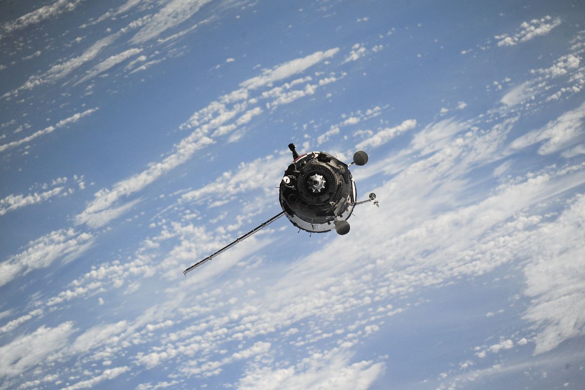
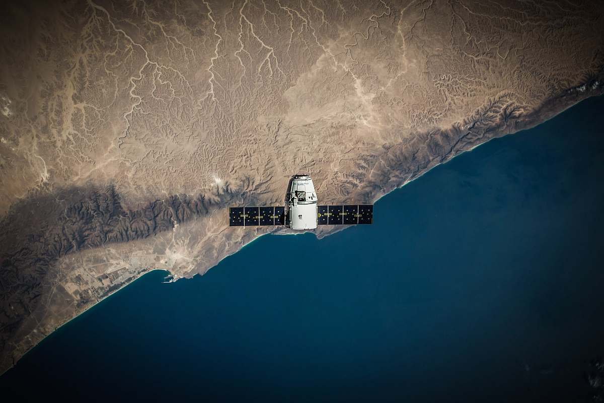
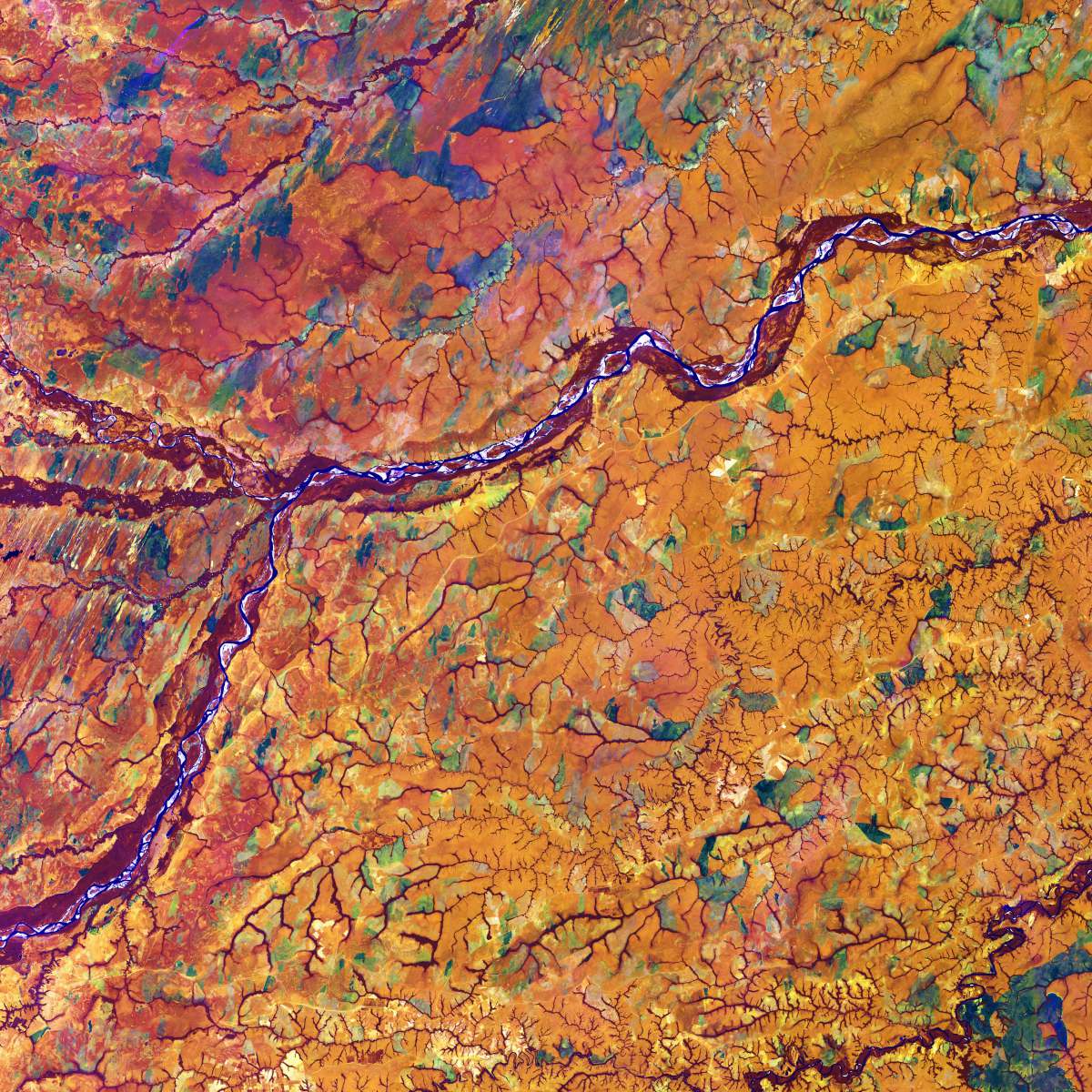
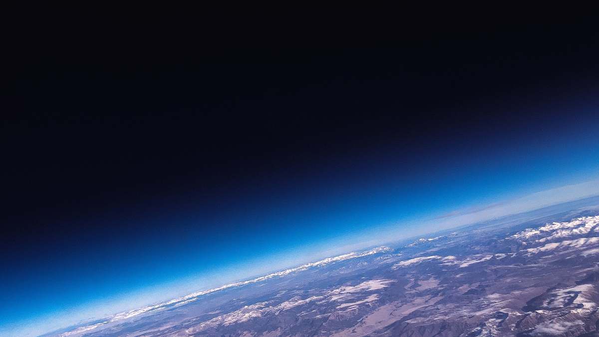
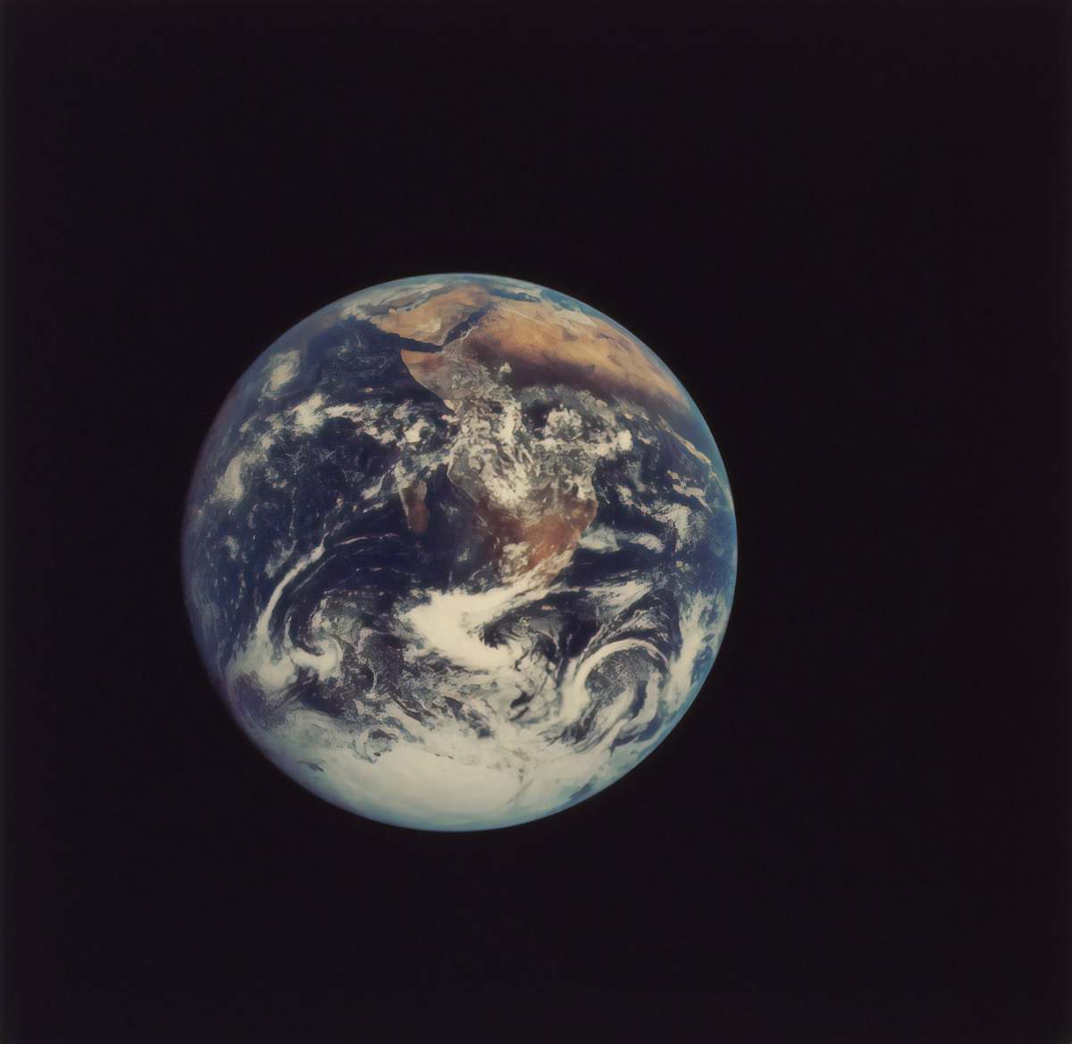
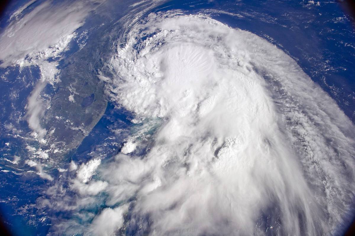
satellite illustration earth from above world map nature geography aerial view water and land environmental design planet earth creative projects educational resources natural landscapesthe world map
Experience the breathtaking beauty of our planet with this detailed satellite illustration showcasing water and land from above. Perfect for educational projects, environmental reports, or as a striking backdrop in presentations, this world map visual captures the intricate balance of nature. Ideal for use in blogs, articles, or any creative endeavor that explores Earth's geography and ecosystems.


All free photos on this site are public domain and free for commercial use. Please consider giving a credit to https://photostockeditor.com. It is not required but very much appreciated.
 15% OFF Exclusive Promo Code for Photos, Vectors and Video (Code: StockEditor15)