
This pictura was taken on Atlantic City, United States
Our Photographer taken this photo with a FC220 camera and edit this with Adobe Photoshop Lightroom 6.10.1 (Macintosh) and
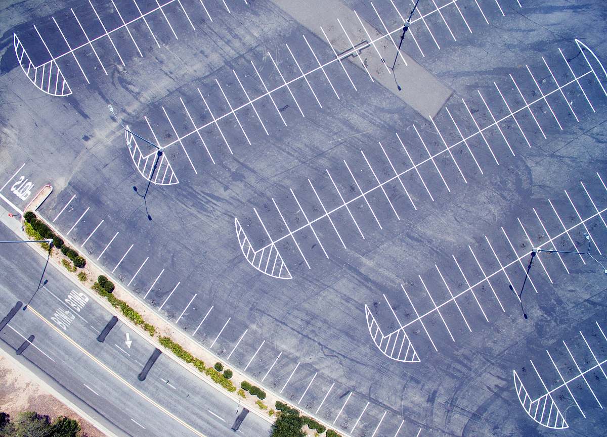
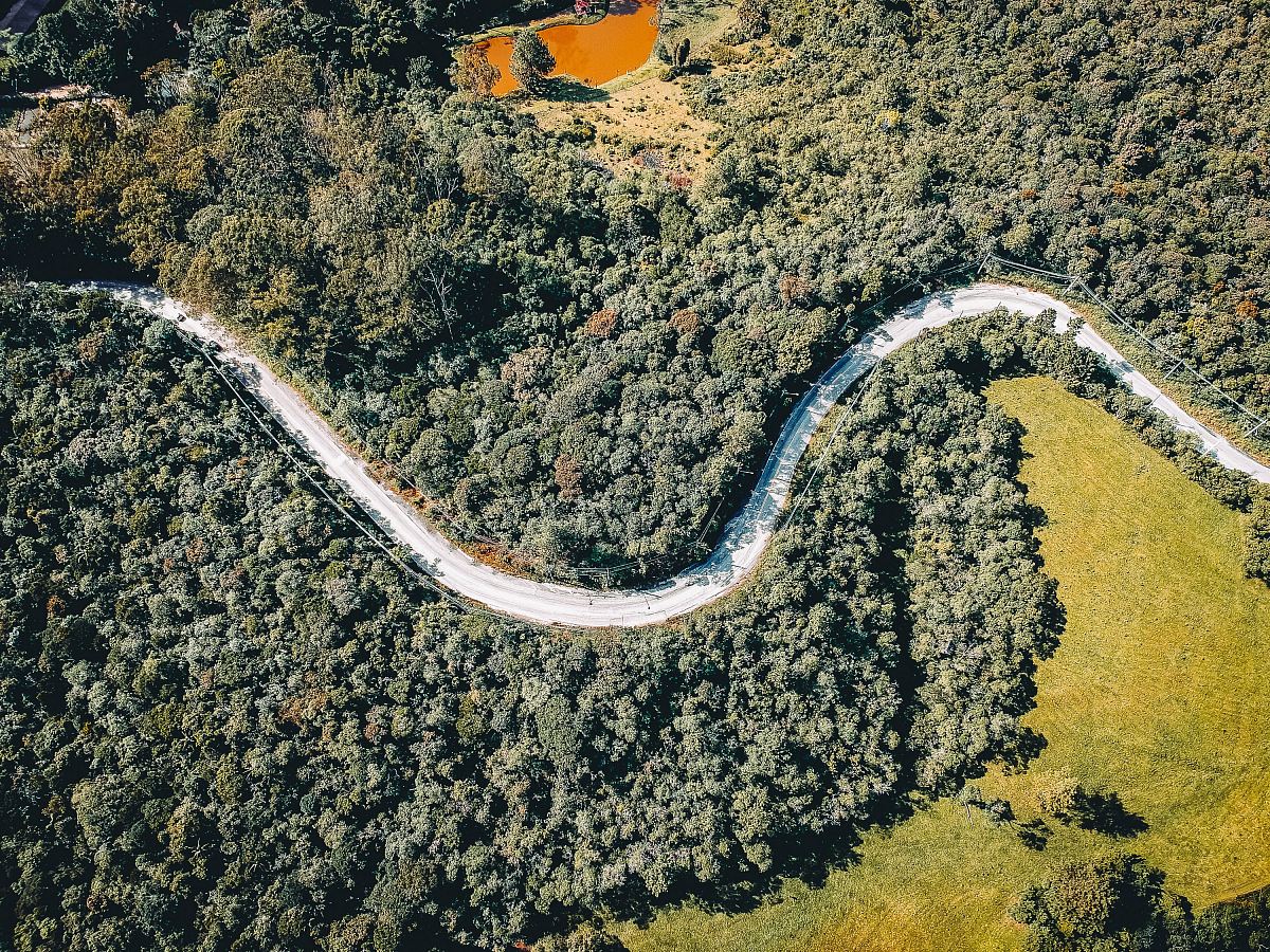
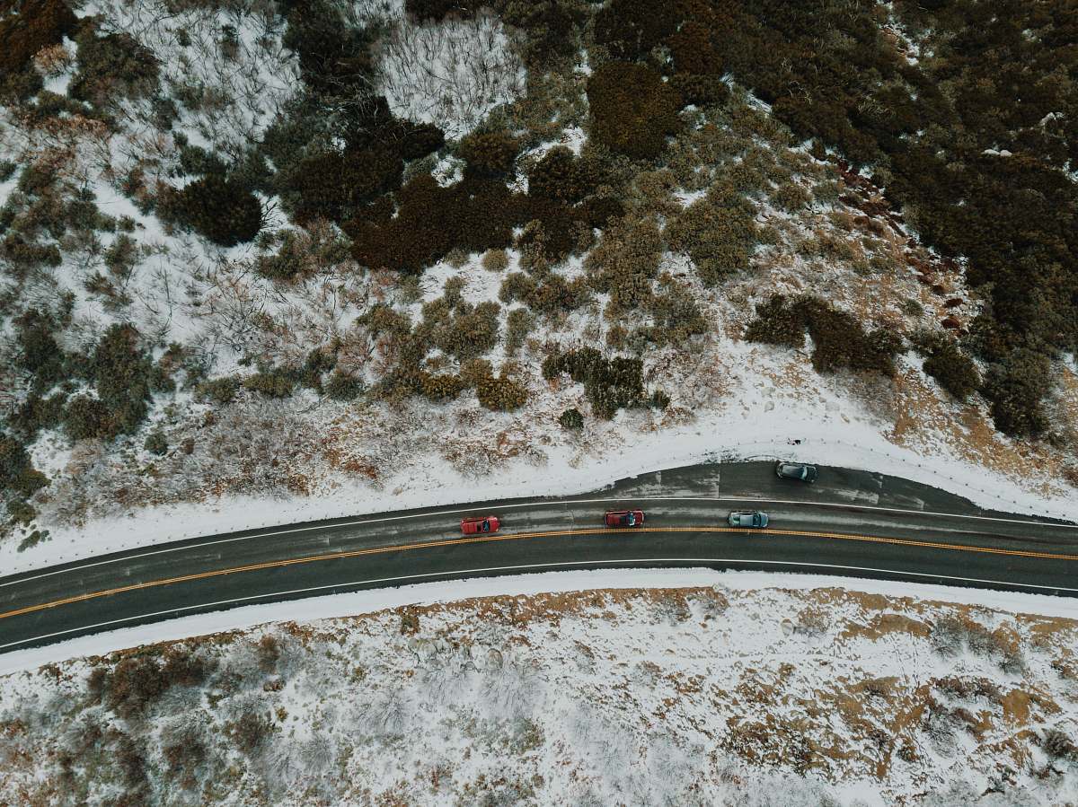
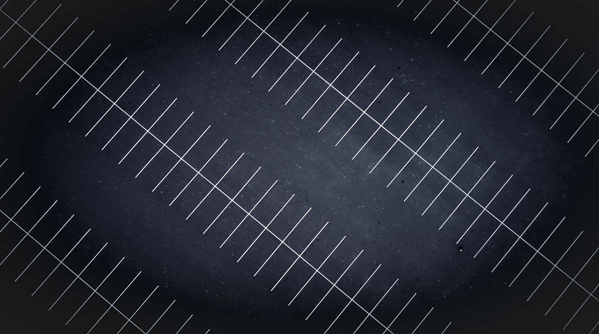
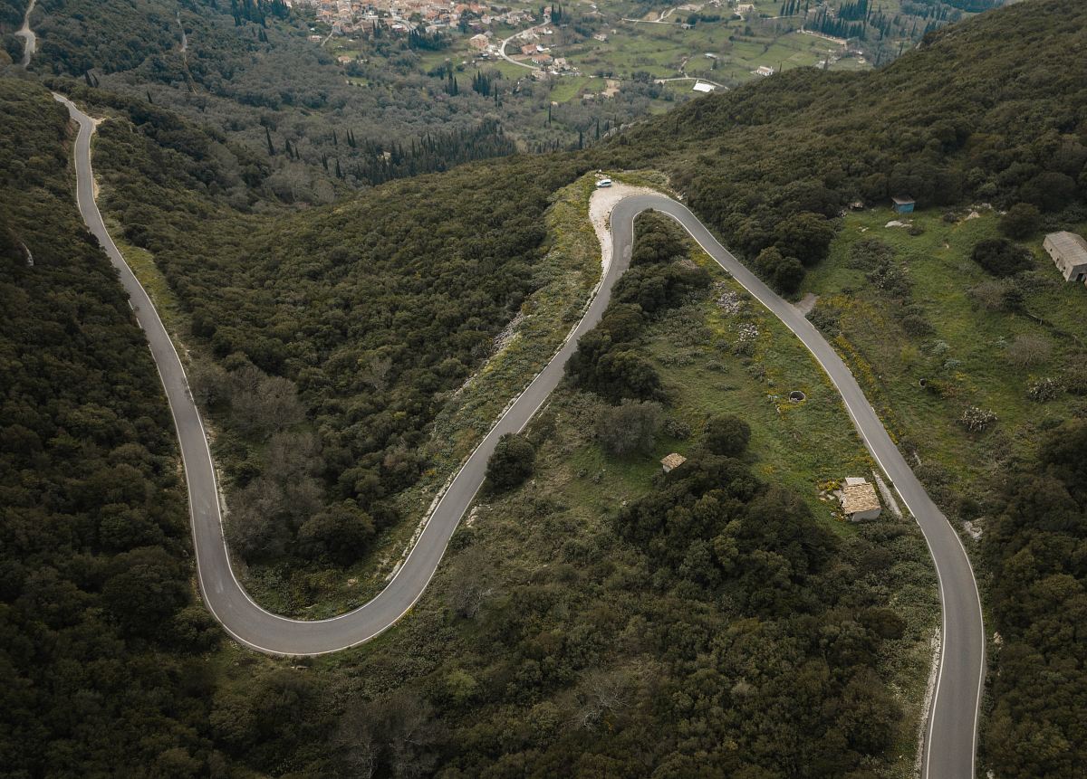
aerial view city intersection drone view urban landscape road patterns gray roads black roads transportation imagery high-definition photography modern city infrastructure urban planningaerial view of a city intersection
Experience a breathtaking aerial perspective of a bustling city intersection captured by drone. This high-definition image showcases the intricate patterns of gray and black roads weaving through the urban landscape. Perfect for use in urban planning, transportation articles, or as a striking background for creative projects, this scene underscores the dynamic relationship between infrastructure and city life.


All free photos on this site are public domain and free for commercial use. Please consider giving a credit to https://photostockeditor.com. It is not required but very much appreciated.
 15% OFF Exclusive Promo Code for Photos, Vectors and Video (Code: StockEditor15)