
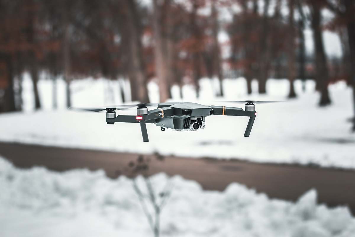
Our Photographer taken this photo with a FC300X camera and edit this with Adobe Photoshop CC 2017 (Macintosh) and
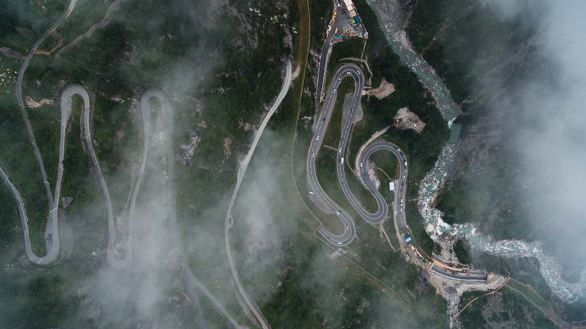
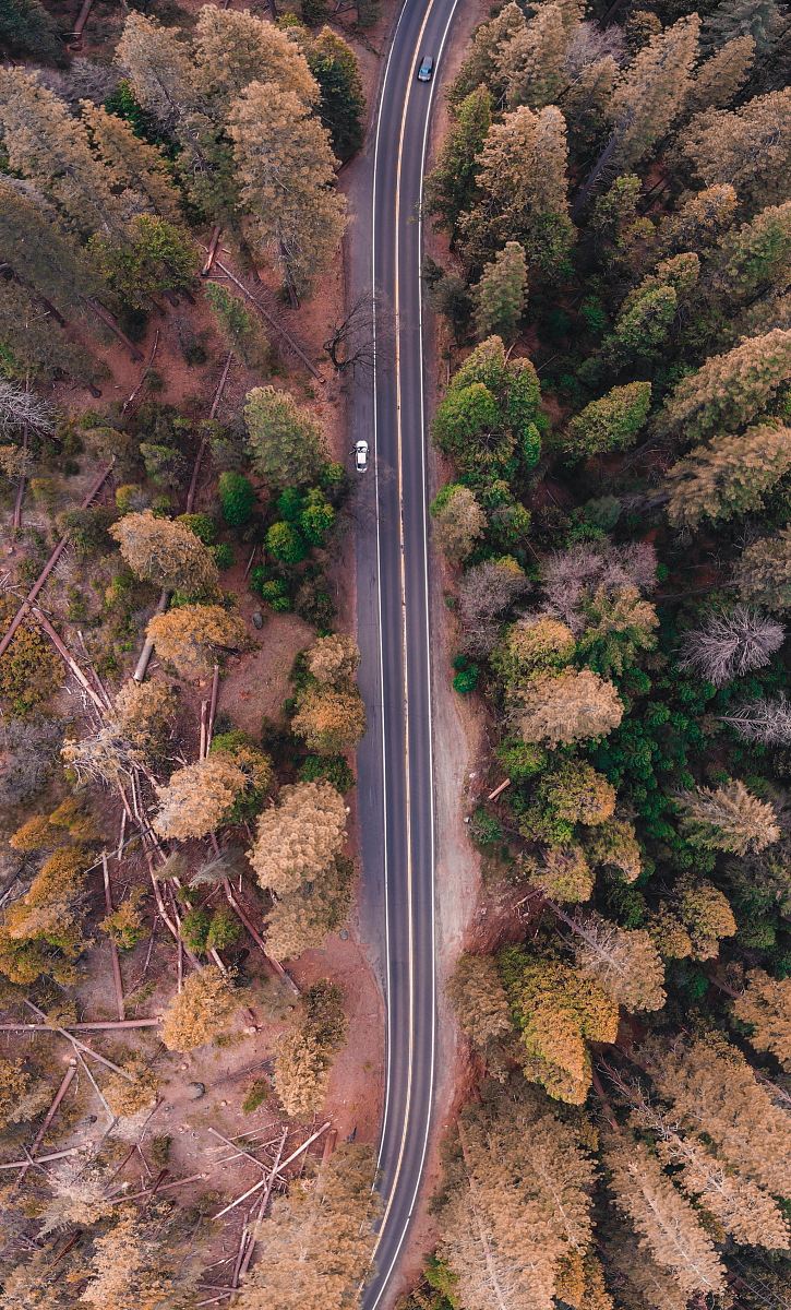
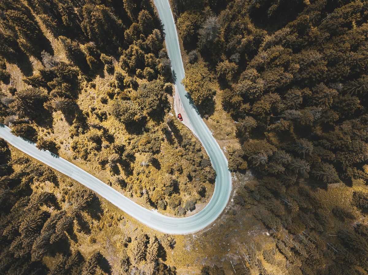
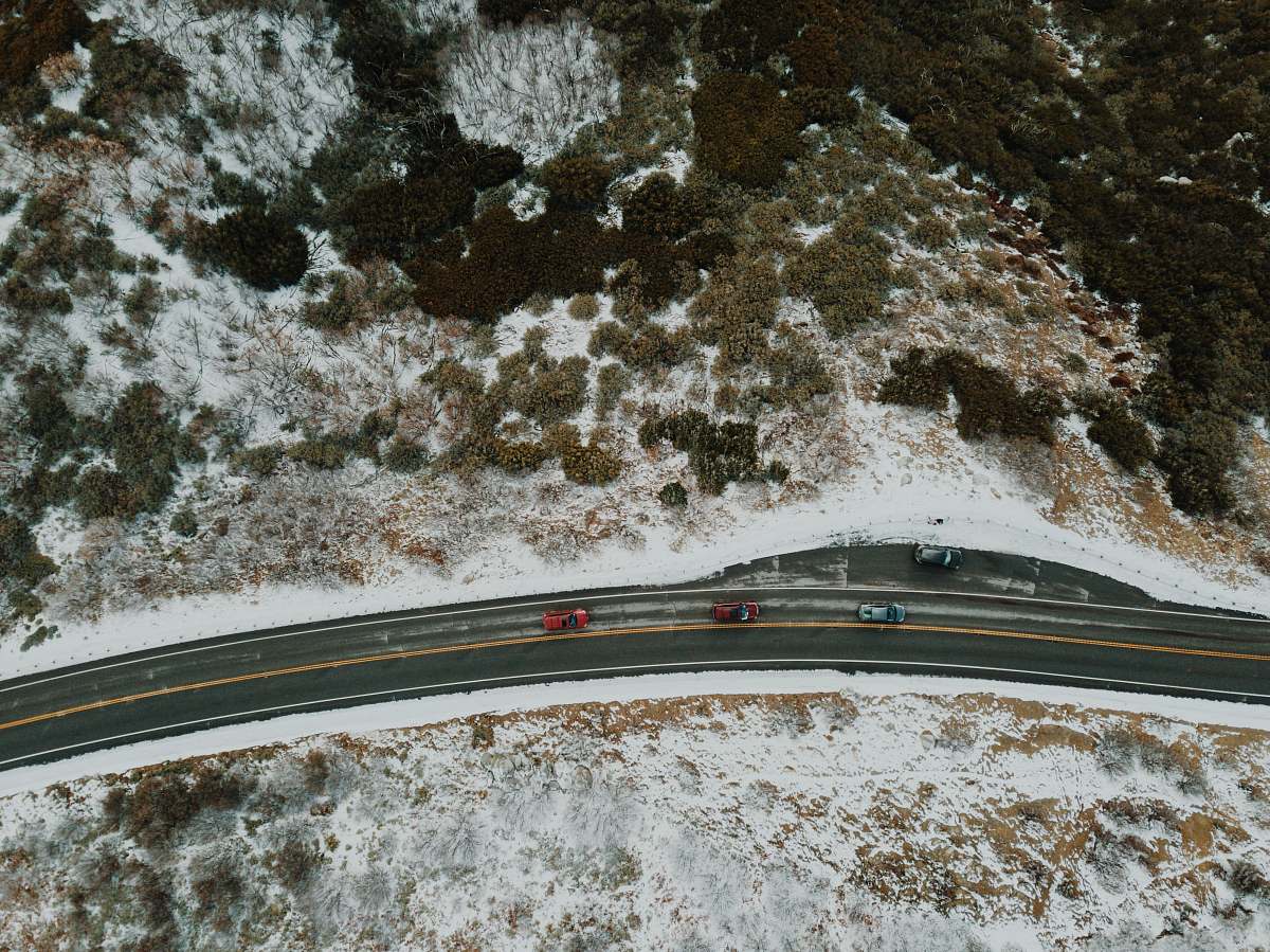
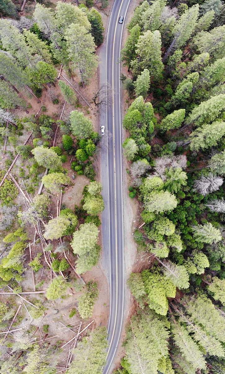
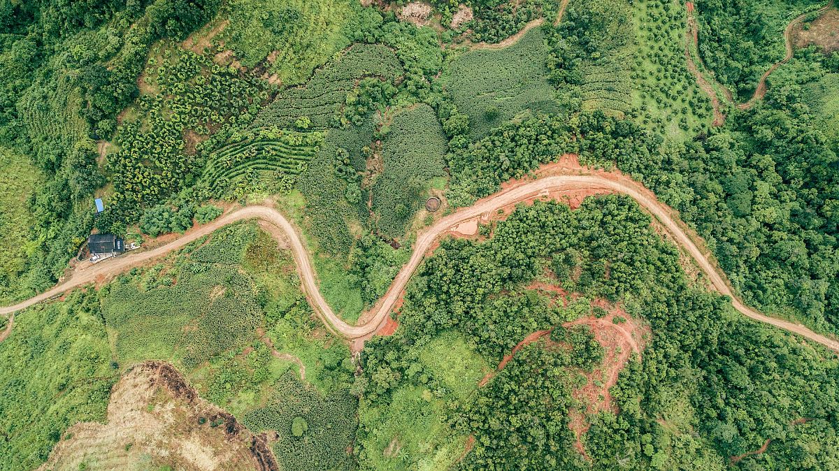
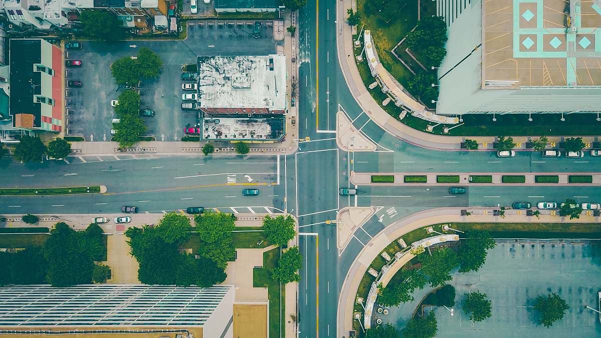
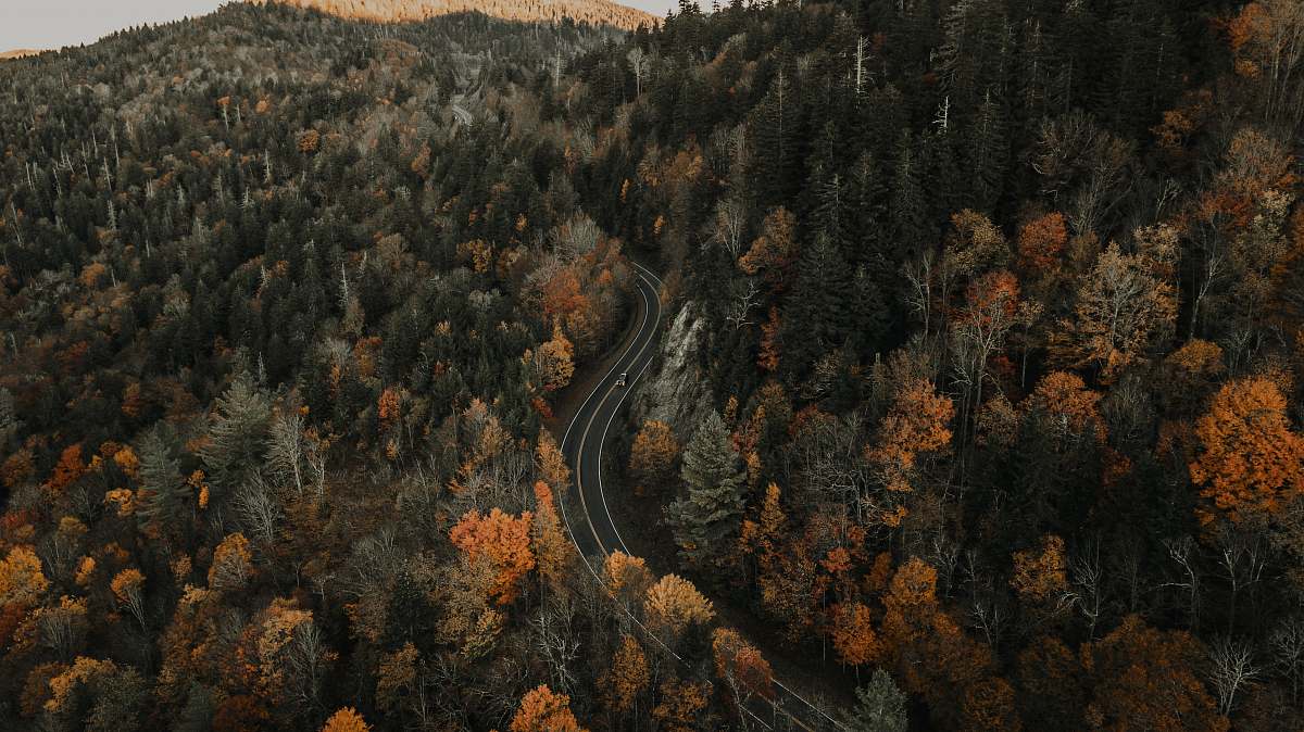
aerial view drone photography gray road parking lot urban landscape transportation high-resolution infrastructure bird's eye view city planning asphalt patterns dronesan aerial view of a parking lot
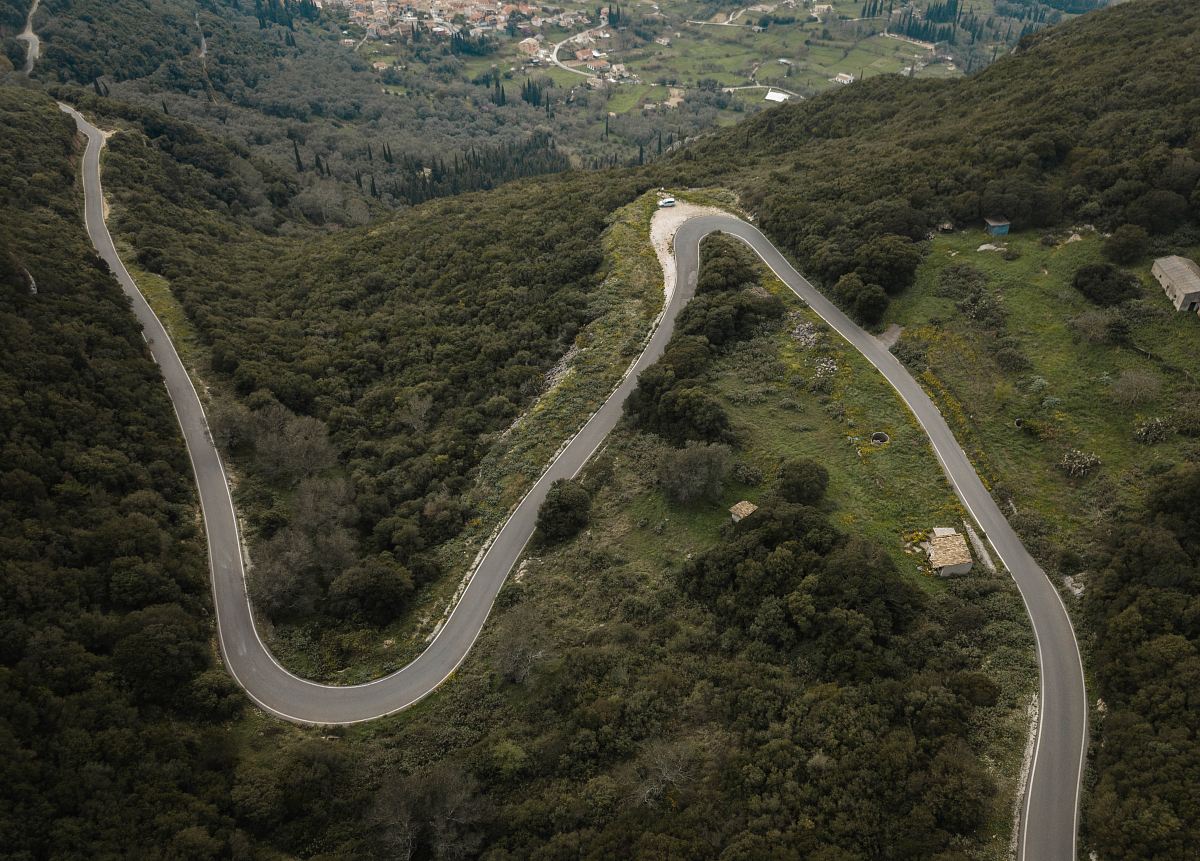
Experience a stunning bird's eye view of a gray road captured by drone, showcasing the intricate layout of an expansive parking lot. This high-resolution aerial photo highlights the patterns of asphalt and the organized chaos of parked vehicles, making it ideal for urban planning projects, transportation studies, or as a striking visual for blogs and articles on modern infrastructure.


All free photos on this site are public domain and free for commercial use. Please consider giving a credit to https://photostockeditor.com. It is not required but very much appreciated.
 15% OFF Exclusive Promo Code for Photos, Vectors and Video (Code: StockEditor15)