
Our Photographer taken this photo with a FC300X camera and edit this with Adobe Photoshop CC 2017 (Macintosh) and
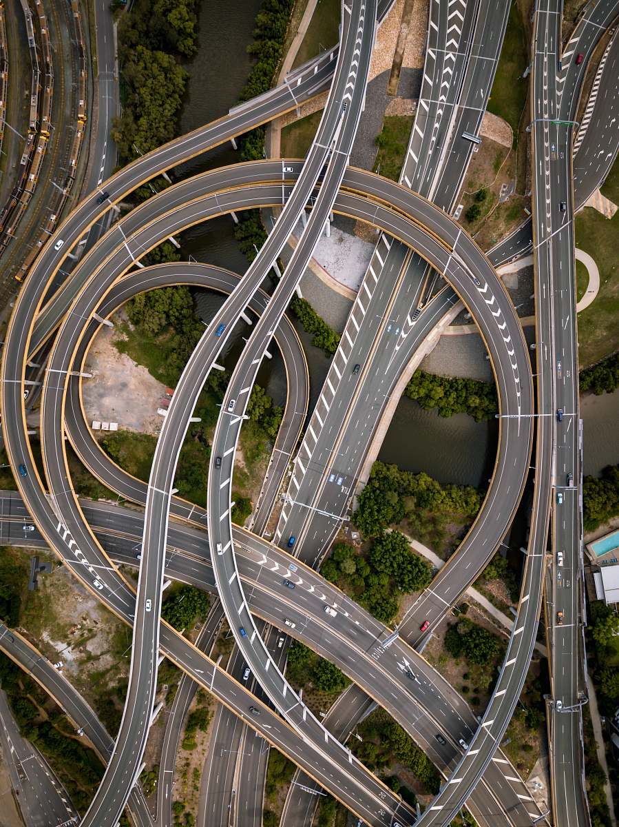
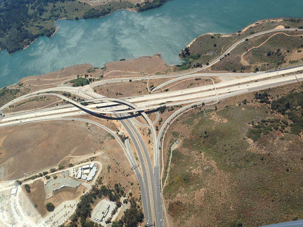
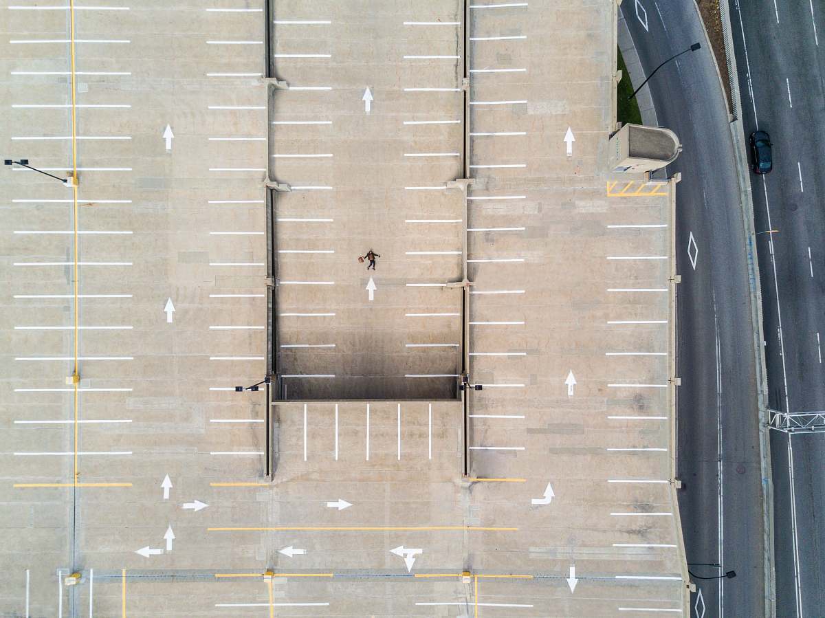
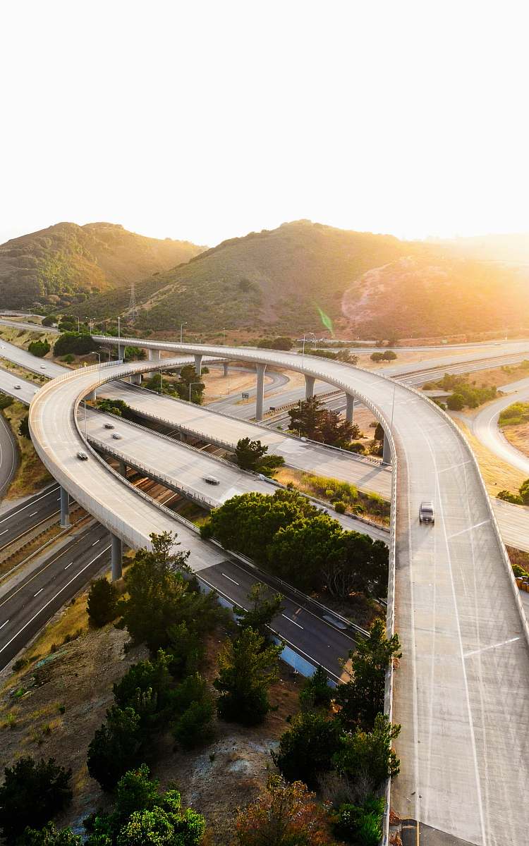
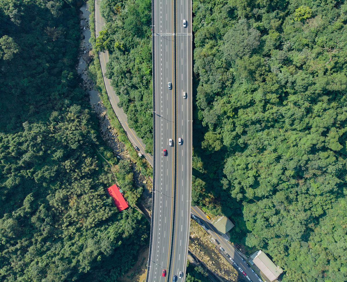
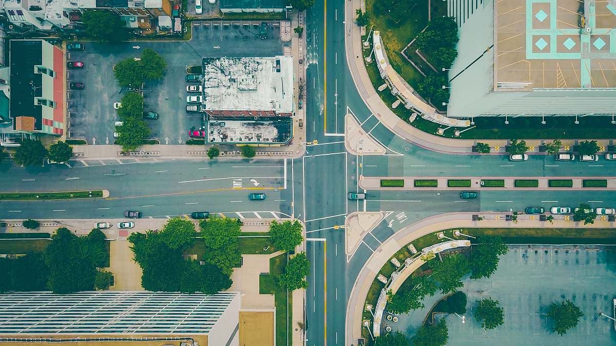
aerial view drone photography highway intersections gray concrete urban planning traffic patterns transportation bird's eye view infrastructure cityscape road networkan aerial view of the intersection of the intersection of the intersection and the intersection of the intersection
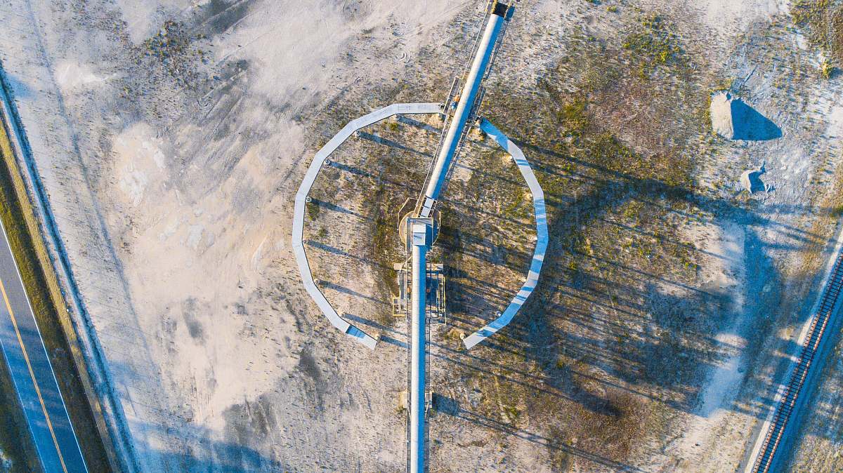
Experience a captivating bird's eye view of complex gray concrete highway intersections captured by drone. This striking aerial image highlights the intricate patterns and flow of urban traffic, making it perfect for transportation-related projects, urban planning presentations, and travel blogs. Use this stunning visual to enhance your content and provide a unique perspective on modern infrastructure.


All free photos on this site are public domain and free for commercial use. Please consider giving a credit to https://photostockeditor.com. It is not required but very much appreciated.
 15% OFF Exclusive Promo Code for Photos, Vectors and Video (Code: StockEditor15)