
Our Photographer taken this photo with a camera and edit this with Adobe Lightroom 3.2 (Macintosh) and
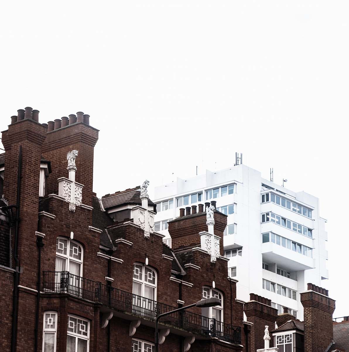
London architecture historical city map vintage illustration city buildings urban design artistic map London history architectural drawing illustrated cityscape cultural heritage design resources educational visualsa map of the city of london, showing the extent of the city
Explore a stunning vintage illustration that beautifully captures the essence of London's historical architecture, featuring a blend of elegant white and brown city buildings. This artistic representation includes a detailed map highlighting the extent of the city, making it a perfect visual resource for history enthusiasts, educators, and graphic designers. Use this captivating image in projects related to urban studies, travel guides, or educational materials about London's rich history.


All free photos on this site are public domain and free for commercial use. Please consider giving a credit to https://photostockeditor.com. It is not required but very much appreciated.
 15% OFF Exclusive Promo Code for Photos, Vectors and Video (Code: StockEditor15)