istock 15% OFF Exclusive Promo Code for Photos, Vectors and Video (Code: StockEditor15)
Explore a visually striking sketch of London's poverty map, showcasing an intricate layout of white and brown city buildings. This artistic representation offers insights into urban socio-economics, perfect for educational projects, social research, and urban development studies. Ideal for use in presentations, articles, and awareness campaigns focused on poverty and urban dynamics in London.

Our contributor photographer taken this photo with a camera and edit this with Adobe Lightroom 3.2 (Macintosh) and picture tagged as London poverty map sketch of city buildings urban socio-economics cityscape illustration poverty awareness urban development socio-economic research white and brown buildings artistic map London architecture social issues city planning

London poverty map sketch of city buildings urban socio-economics cityscape illustration poverty awareness urban development socio-economic research white and brown buildings artistic map London architecture social issues city planning
Public Domain

Detailed Sketch of London's Poverty Map Featuring White and Brown City Buildings

a map of the city of london

Explore a visually striking sketch of London's poverty map, showcasing an intricate layout of white and brown city buildings. This artistic representation offers insights into urban socio-economics, perfect for educational projects, social research, and urban development studies. Ideal for use in presentations, articles, and awareness campaigns focused on poverty and urban dynamics in London.


Similar Free Stock Images

poverty map white and brown city buildings sketch london poverty map
Detailed Sketch of London's Poverty Map Featuring White and Brown City Buildings
historical brown and white map illustration london poverty map
Historical Brown and White Illustration of London Poverty Map
brown brown and white city buildings sketch poverty map
Artistic Sketch of London City Buildings Highlighting Urban Poverty
london poverty map brown and white city buildings london
Detailed London Poverty Map: A Visual Insight into Urban Disparities
brown brown and white building illustration london poverty map
Illustrated Poverty Map of London: Brown and White Building Highlights
london poverty map brown and white abstract painting london
Abstract London Poverty Map Artwork in Brown and White
brown brown and white city map poverty map
Detailed Paris Poverty Map: Brown and White Cityscape Visualization
map brown and white city buildings london
Detailed Map of London with Brown and White City Buildings
london brown and white map illustration historical
Vintage London Map Illustration - Brown and White Historical Design
brown brown and white map illustration historical
Vintage Brown and White London City Map Illustration
historical white and brown city buildings illustration brown
Vintage Illustration of Historical London Architecture and City Map
atlas navigation map diagram
Stylish Atlas Navigation Map of London on Blue Background
  person  people  sitting  germany  poverty
Woman in Poverty Sitting on Blue Blanket in Germany
book world map sketch paper
Artistic Sketch of a World Map in an Open Book
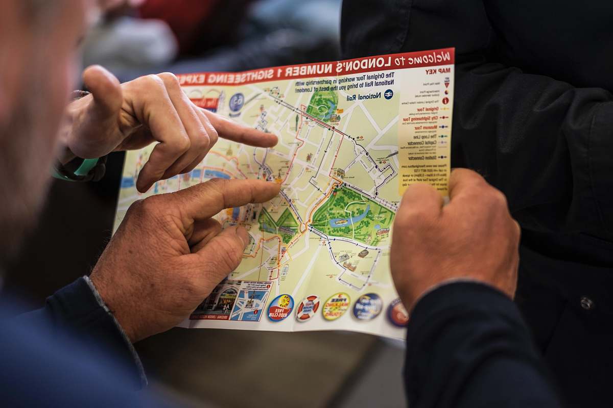
people two people pointing at London's number one sightseeing map human
Exploring London's Iconic Attractions: Two Travelers with a Sightseeing Map
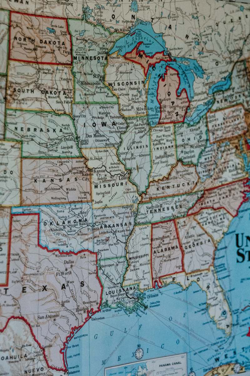
map blue white and brown map united states
Detailed Blue, White, and Brown Map of the United States
france white blue and green map travelling
France Map in White, Blue, and Green for Travel Enthusiasts
kiev geometric map art ukraine
Black and White Kiev Geometric Map Art of Ukraine
dunkirk text france
Vintage Dunkirk Map of France on Rustic Brown Background
grey road map diagram
Stylish Grey Road Map Diagram of Berlin City
grey gray and white map atlas
Vintage Grey and White Atlas Map of the British Isles
blue person holding map london
Exploring London: A Blue-Hued Adventurer with a Map
map text vintage
Vintage New York Map - Timeless Cartographic Art
brown brown and green map illustration plot
Detailed Brown and Green Map Illustration of County Cork
Map of El Paso in 1886 in Texas image - Freephoto
Historical Map of El Paso, Texas - 1886 Vintage Illustration
Donggwoldo, a painting of the landscape of Changdeokgung
Donggwoldo Landscape Painting of Changdeokgung with London City Map
brown brown and green map liamsims
Detailed Brown and Green Map of the Middle East - Liamsims
closeup photo of New York map
Detailed Close-Up of a New York City Map with Global Overview
retro country map illustration shining
Vintage Country Map Illustration with Radiant Details
person holding blue and brown map
Adventurous Driver Navigating with a Blue and Brown Map
plot blue red and yellow abstract painting map
Abstract City Map of London in Blue, Red, and Yellow
  number  new york  travel  line  color  usa
New York City Travel Map - Discover the USA
east coast Geographical map sketch old
Vintage East Coast Geographical Map with Soft Light Illumination
map brown and black map museum
Antique Brown and Black Map Displayed on Museum Table
map blue and white printer paper gaza
Detailed Blue and White Printed Map of Gaza with Location Pin
Rhodes city, around 1490 in Greece image - Free
Historical Map of Rhodes, Greece circa 1490 - A Visual Journey
burgk beige map germany
Vintage Beige Map of Leicestershire, Germany - Detailed County Cartography
japan brown and black city landscape 3D map miniature
Miniature 3D Map of Japan's Cityscape: Brown and Black Urban Landscape
1910 brown and black musical notes manhattan
Vintage 1910 Manhattan Map with Brown and Black Musical Notes
map red green and blue map green
Red, Green, and Blue Map of the Netherlands
Wuhan Map drawing from 1864 image - Freephoto
Historical 1864 Map of Wuzhou, Wuhan - High-Quality Image
ubatuba closeup photo of brown map brazil
Detailed Close-Up of a Vintage Brown Map of Brazil's Ubatuba
  line  asia  japan  map  creativecommons
Detailed Map of Tokyo: A Creative Commons Visual Guide
brown brown flag parchment
Antique Brown World Map Parchment Flag
painting Europe map advertising
Europe Map Illustration for Creative Advertising
buenos aires blue green and yellow map argentina
Map of Buenos Aires with Colorful Highlights and Red Pin
atlas green and yellow map diagram
Detailed Atlas Map with Green and Yellow Design Featuring Location Pins
brown  north carolina
Close-Up of Brown North Carolina Map on Wall - Vintage Decor
  paris  line  soil  map  atlas  capital  pin
Red Pin on Paris Map: Captivating Capital Insights
belgium blue red and white textile map
Colorful Belgium Textile Map with Red Accents
grey white and green map on brown wooden table diagram
Stylish Grey and Green Map on Rustic Wooden Table
aragua white and red map chart venezuela
Aragua Map with Red Pin Highlighting Venezuela
travel Australia map filled with pins australia
Exploring Australia: Travel Map with Colorful Pins
space green and brown map with water droplets astronomy
Astronomy Map with Water Droplets and Colorful Pins
passport brown framed sunglasses on map world map
Passport and Brown Framed Sunglasses on World Map Table
milano red and black round illustration metropolitan city of milan
Red and Black Map Illustration of Milan - Urban Travel Art
diagram map with pins plot
Interactive Map with Location Pins for Travel and Business Planning
map woman holding map while standing near building girl
Navigating the Urban Jungle: Woman with Map by City Building
rocky mountian national park white and green map on brown wooden table col
Exploring Rocky Mountain National Park: Vintage Map on Rustic Wood Table
united states of america politician map on brown wooden surface the us
Vintage Political Map of the USA on Rustic Wooden Table

Related iStock Premium Stock Images