
This pictura was taken on Qadisiyah, Baghdad, Iraq
Our Photographer taken this photo with a camera and edit this with Adobe Photoshop CS6 (Macintosh) and
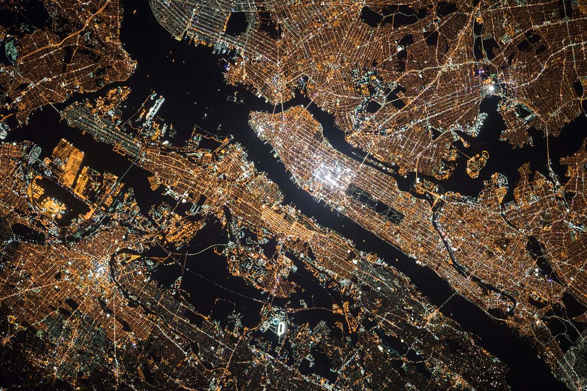
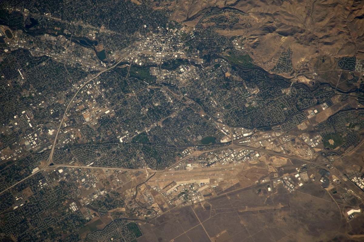
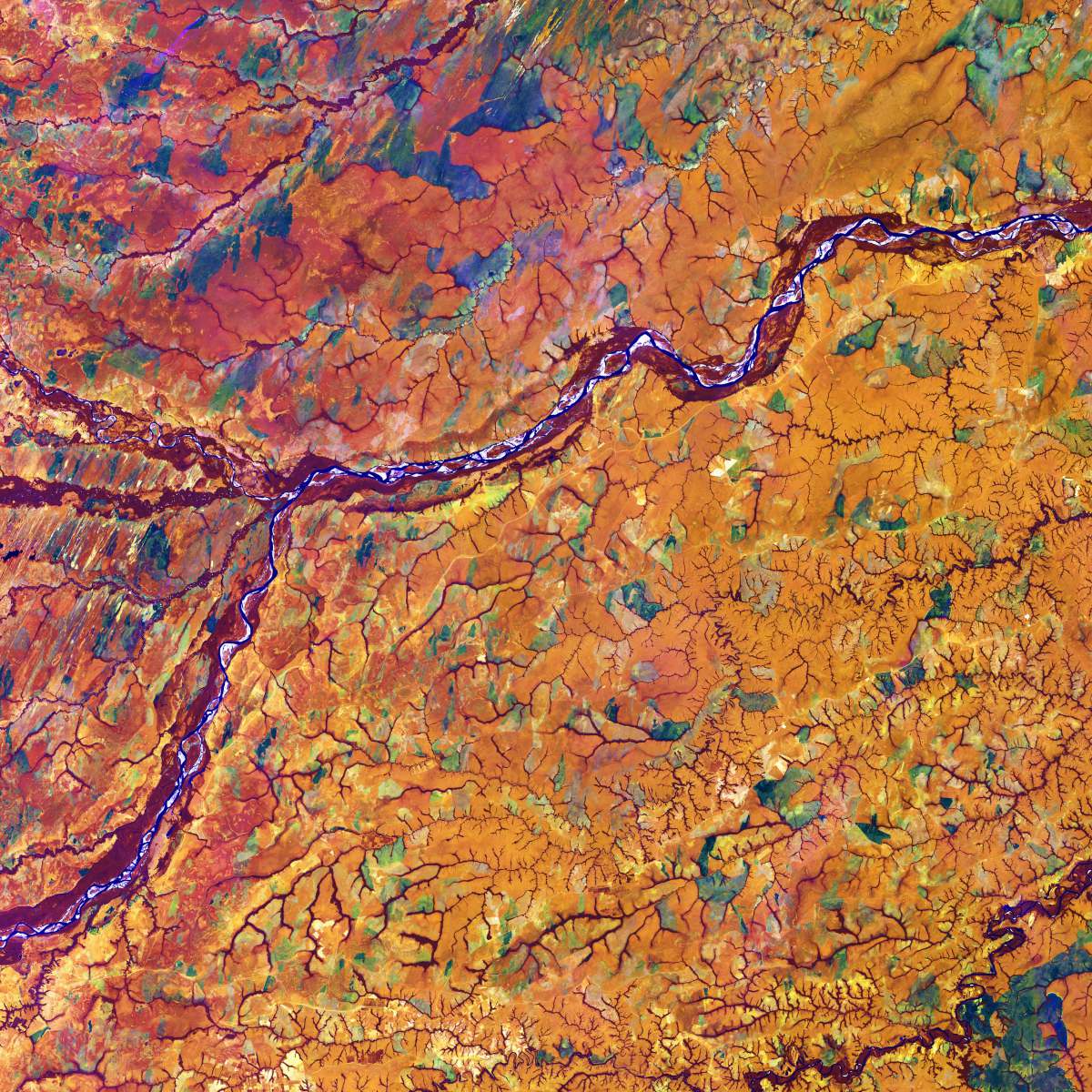
Nile Delta aerial satellite image river landscape geographic photography environmental studies land use agriculture biodiversity vibrant landscapes nature photography geospatial analysis travel imagerythe nile delta
This breathtaking aerial satellite image captures the intricate patterns and vibrant greenery of the Nile Delta, showcasing the river's expansive floodplain and its lush, agricultural lands. Perfect for use in environmental studies, geographic research, or as an illustrative piece for travel and tourism publications, this image highlights the dynamic interplay between water and land in one of the world's most iconic deltas.


All free photos on this site are public domain and free for commercial use. Please consider giving a credit to https://photostockeditor.com. It is not required but very much appreciated.
 15% OFF Exclusive Promo Code for Photos, Vectors and Video (Code: StockEditor15)